- Blavet
Infobox River | river_name = Blavet

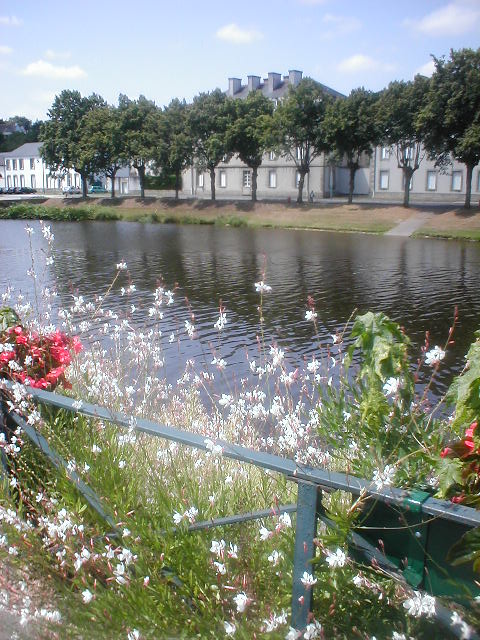
caption = The Blavet inPontivy .
origin =Brittany
mouth =Atlantic Ocean
coord|47|42|32|N|3|22|5|W|name=Atlantic Ocean-Blavet|display=inline,title
basin_countries =France
length = 149 km
elevation =
discharge =
watershed =:"For the French
flautist , seeMichel Blavet "The Blavet
river flows from centralBrittany and enters theAtlantic Ocean on the south coast nearLorient . The river iscanal ized for most of its length and is navigable for smaller craft. It is part of Brittany's canal system and became more important when the western half of that system got cut off by the construction ofGuerledan 'shydroelectric power dam. Today, boat traffic coming fromNantes via Redon has to take the Canal du Blavet and the Blavet river in order to reach the ocean near Lorient.The source of the Blavet is east of
Bulat-Pestivien ,Côtes-d'Armor . It flows through the following "départements" and towns:*
Côtes-d'Armor :Saint-Nicolas-du-Pélem ,Gouarec
*Morbihan :Pontivy ,Hennebont ,Lorient References
*http://www.geoportail.fr
* [http://sandre.eaufrance.fr/app/chainage/courdo/htm/J5--021-.php?cg=J5--021- The Blavet at the Sandre database]
* [http://www.noordersoft.com/indexen.html NoorderSoft Waterways Database]
Wikimedia Foundation. 2010.
