- Cariboo Mountains
:"This article is about the Cariboo Mountains in British Columbia, Canada. They should not be confused with the
Caribou Mountains .Geobox | Range
name=Cariboo Mountains
image_caption=
country=Canada
region_type= Province
region=British Columbia
parent=Columbia Mountains
geology= | period= | orogeny=
area=7700|length=245|length_orientation=SE-NW|width=90|width_orientation=SW-NE
highest=Mount Sir Wilfrid Laurier
highest_elevation=3516
highest_lat_d=52|highest_lat_m=48|highest_lat_s=05|highest_lat_NS=N
highest_long_d=119|highest_long_m=43|highest_long_s=54|highest_long_EW=W
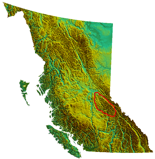
map_caption=Location map of the Cariboo MountainsThe Cariboo Mountains are the northernmost subrange of theColumbia Mountains , which run down into theSpokane, Washington area of theUnited States and include the Selkirks, Monashees and Purcells. The Cariboo Mountains are entirely within the province ofBritish Columbia ,Canada . The range is 7,700 km² (c. 2,975 sq mi) in area and about 245 km in length (SE-NW) and about 90 km at its widest (SW-NE).Physical geography
East of the range is the
Rocky Mountain Trench , in this region largely the path of the upperFraser River , including the section known as the Grand Canyon of the Fraser (which is not to be confused with the better-knownFraser Canyon nearer Vancouver. To the west the range verges with theCariboo Plateau through an intermediary "foothill" area known as theQuesnel Highland . Northwestwards the range drops to the Willow River area of theNechako Plateau , which lies around Prince George. South of the range, northeast of Clearwater a plateau-like mountainous area between the range and theNorth Thompson River is part of theShuswap Highland , which crosses the North Thompson and continues into theShuswap Lake area.N.B. Some classification systems assign the Cariboo Mountains to the Cariboo Plateau, which also includes the small Marble and
Clear Range s but it is so large and so mountainous a range, with peaks that rival the highest in the Selkirks, that it does not warrant the "plateau" designation.The Cariboo Mountains subranges include the Palmer Range and the Mowdish Range.
Watersheds and rivers
Unlike the other three major subranges of the Columbia Mountains, the Cariboo Mountains have almost no contact with the Columbia River or its tributaries, but are entirely bounded by the Fraser and its tributary, the North Thompson River (there is a small exception in the Canoe River, which runs into the Rocky Mountain Trench from the eastern end of the range. The Canoe River is on the north side of
Albreda Pass , which is the divide between the North Thompson and the Rocky Mountain Trench.High peaks
The highest summits in the range are in a group known as the
Premier Range whose peaks carry the names of eleven Canadian Prime Ministers, oneBritish Prime Minister , and onePremier of British Columbia . The highest peak isMount Sir Wilfrid Laurier at 3,516 m (11,535 ft). The most recently added name to the group is that ofMount Pierre Elliott Trudeau .The highest peak in the Cariboo Mountains outside the Premiers Range is
Quanstrom Mountain 3,038 m (9,967 ft), which is the northernmost peak in the range over 3,000 m.ub-ranges
*
Mowdish Range
*Premier Range
*Wavy Range Protected lands and parks
Much of the Cariboo Mountains lie in
Wells Gray Provincial Park , among the oldest in British Columbia, and another section is inBowron Lake Provincial Park , a popular canoeing circuit east of the preserved gold rush town of Barkerville. Another park in the range isCariboo Mountains Provincial Park , between Wells Gray and Bowron Lake.
Wikimedia Foundation. 2010.