Denfeld (Duluth)

Denfeld (Duluth)

The Denfeld neighborhood is located within the West Duluth district of Duluth, Minnesota, United States. It consists mostly of closely spaced single-family residential homes, although a fair number of such houses have an area within the domicile registered as a rental unit. There are also a number of stores and businesses in the neighborhood concentrated along Grand Avenue.

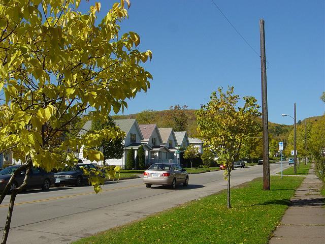
40th Avenue West, one of the neighborhood's main streets, leading to Hermantown and the Miller Hill area of Duluth.

The Denfeld neighborhood, according to the city's map, is bounded by West 8th Street until Central Avenue; by Central Avenue until its intersection with Grand Avenue; Grand Avenue, until it crosses 46th Avenue West; and a divide near the Interstate 35 freeway until the railroad tracks near Carlton Street, the classic dividing-point between West Duluth and rival neighborhood Lincoln Park.

The Denfeld High School serves most of West Duluth; six neighborhoods farther to the west; and both Lincoln Park and Piedmont Heights to the east; and is an architectural icon of the neighborhood.

Contents

Adjacent neighborhoods

See also

Coordinates: 46°43′55″N 92°10′52″W / 46.7319°N 92.1811°W / 46.7319; -92.1811[1]

References

  1. ^ Spirit Valley/Denfield/Norton Park, Duluth, MN. Google Earth. Retrieved 2011-03-14.

External links


Wikimedia Foundation. 2010.

Игры ⚽ Нужно сделать НИР?

Look at other dictionaries:

  • Denfeld High School — Duluth Denfeld High School Location Duluth, Minnesota, USA Information Ty …   Wikipedia

  • Duluth Public Schools — is a school district based in Duluth, Minnesota. It is also known as Independent School District (ISD) #709. Contents 1 High schools 2 Middle schools 3 Elementary schools 4 Extern …   Wikipedia

  • West Duluth — refers to an official neighborhood district in the west central part of Duluth, Minnesota, USA.Grand Avenue, Central Avenue, and I 35 are three of the main arterial routes in the community.NeighborhoodsSeven neighborhoods are located within… …   Wikipedia

  • East High School (Duluth, Minnesota) — For schools of the same name, see East High School (disambiguation). Duluth East High School Location Duluth, Minnesota, USA …   Wikipedia

  • List of schools in Duluth, Minnesota — Colleges, universities and K 12 education in Duluth, Minnesota Colleges and universities *University of Minnesota Duluth *The College of St. Scholastica *Lake Superior College *Duluth Business University *Cosmetology Careers Unlimited *University …   Wikipedia

  • Neighborhoods of Duluth, Minnesota — The city of Duluth, overlooking Lake Superior in the U.S. state of Minnesota has several distinct neighborhoods. Contents 1 Neighborhoods 1.1 Central 1.2 Eastern Duluth 1.3 …   Wikipedia

  • Lincoln Park (Duluth) — Lincoln Park is one of the larger neighborhoods (in terms of area) in the city of Duluth, Minnesota.Lincoln Park is situated between Garfield Avenue to the ore docks at Carlton Street / 34th Avenue West. The neighborhood stretches up the hill to… …   Wikipedia

  • Norton Park (Duluth) — Norton Park is a neighborhood in Duluth, Minnesota, United States. Grand Avenue serves as a main arterial route in the community. The neighborhood is located between 75th Avenue West and 85th Avenue West. The neighborhood is situated between… …   Wikipedia

  • Woodland Middle School (Duluth, Minnesota) — Infobox high school image caption = name= Woodland Middle School latin name= established = type = Public endowment = staff = 43 principal = Bonnie Wolden enrollment = students = 815 city = Duluth state = Minnesota country = USA free label = free …   Wikipedia

  • Cody (Duluth) — The Cody neighborhood is located within the West Duluth district of Duluth, Minnesota, United States. Cody Street, Highland Street, 59th Avenue West, and West 8th Street are four of the main arterial routes in the community. Keene Creek flows… …   Wikipedia

Share the article and excerpts

Direct link
Do a right-click on the link above
and select “Copy Link”