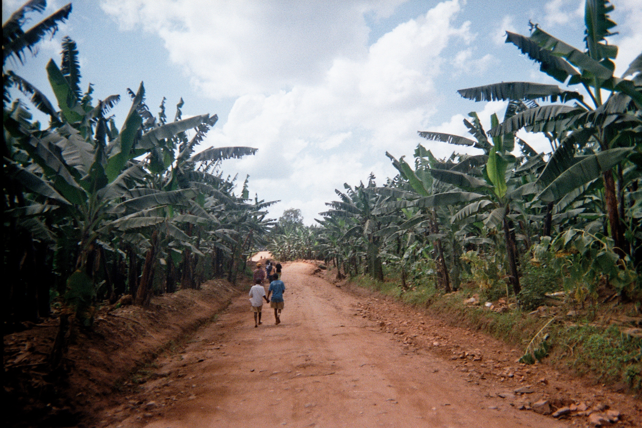
- Kisizi
Infobox Settlement
official_name = Kisiizi
other_name =
native_name = Kisiizi
nickname =
settlement_type =
motto =
imagesize = 300px
image_caption =
flag_size =
image_
seal_size =
image_shield =
shield_size =
image_blank_emblem =
blank_emblem_type =
blank_emblem_size =
mapsize =
map_caption =
mapsize1 =
map_caption1 =
image_dot_
dot_mapsize =
dot_map_caption =
dot_x = |dot_y =
pushpin_
pushpin_label_position =bottom
pushpin_map_caption =Location in Uganda
subdivision_type = Country
subdivision_name =
subdivision_type1 = District
subdivision_name1 =
subdivision_type2 =
subdivision_name2 =
subdivision_type3 =
subdivision_name3 =
subdivision_type4 =
subdivision_name4 =
government_footnotes =
government_type =
leader_title =
leader_name =
leader_title1 =
leader_name1 =
leader_title2 =
leader_name2 =
leader_title3 =
leader_name3 =
leader_title4 =
leader_name4 =
established_title =
established_date =
established_title2 =
established_date2 =
established_title3 =
established_date3 =
area_magnitude =
unit_pref =Imperial
area_footnotes =
area_total_km2 =
area_land_km2 =
area_water_km2 =
area_total_sq_mi =
area_land_sq_mi =
area_water_sq_mi =
area_water_percent =
area_urban_km2 =
area_urban_sq_mi =
area_metro_km2 =
area_metro_sq_mi =
area_blank1_title =
area_blank1_km2 =
area_blank1_sq_mi =
population_as_of =2005
population_footnotes =
population_note =
population_total =
population_density_km2 =
population_density_sq_mi =
population_metro =
population_density_metro_km2 =
population_density_metro_sq_mi =
population_urban =
population_density_urban_km2 =
population_density_urban_sq_mi =
population_blank1_title =Ethnicities
population_blank1 =
population_blank2_title =Religions
population_blank2 =
population_density_blank1_km2 =
population_density_blank1_sq_mi =
timezone =
utc_offset =
timezone_DST =
utc_offset_DST =
latd=0 |latm=59 |lats=45 |latNS=S
longd=29 |longm=57|longs=44 |longEW=E
elevation_footnotes =
elevation_m =
elevation_ft =
postal_code_type =
postal_code =
area_code =
blank_name =
blank_info =
blank1_name =
blank1_info =
website =
footnotes =Kisiizi is a community centred around Kisiizi Hospital in the
Rukungiri District of south-westUganda . Most of the locals speakRukiga . There are a steady stream of visits by Western medical students. Kisiizi Hospital also has a primary school, one of the best in Uganda, and close links with a secondary school named Rubirizi Secondary School.Kisiizi waterfall is the site of a
hydroelectric dam project, due to be completed in 2008. The Hospital's water engineer, Charles Swainson, is the head of the project. It is expected to power many homes and also the hospital. The current turbine produces 60kW but the new installation will generate 300kW. It will be inaugurated at Kisiizi Hospital's Golden Jubilee weekend 14-16th November 2008 when there will be a time of celebration and thanksgiving for the work and ministry of the Hospital in its first 50 years.The town is split into upper and lower Kisiizi (~5minutes journey by car). Both the primary school and hospital are located in lower Kisiizi, along with a small market, an internet cafe, and various residential buildings. The Internet Cafe (run by MicroCare Ltd. in co-operation with
Project Trust volunteers) also offers daily IT tuition to local school and hospital staff. Upper Kisiizi consists mainly of shops and housing with a number of small bars.Hospital
Kisiizi Hospital was established in 1958 and is run by the
Church of Uganda . Kisiizi Hospital provides a wide range of services and patients travel from a wide catchment area to access care. The hospital receives a lot of support from Friends of Kisiizi and has had generous donations towards new buildings fromIreland includingSt. Andrew's College, Dublin , and St. Paul's Church inDublin . The only local church is located at the center of the hospital complex.Friends of Kisiizi in the UK has an annual Friends Day.
External links
* [http://www.kisiizi.supanet.com "Kisiizi Hospital"]
* [http://www.kisiizihospital.org.ug "Church Of Uganda - Kisiizi Hospital"]
Wikimedia Foundation. 2010.

