- Sušice
Geobox | Settlement
name = Sušice
other_name =
category = Town
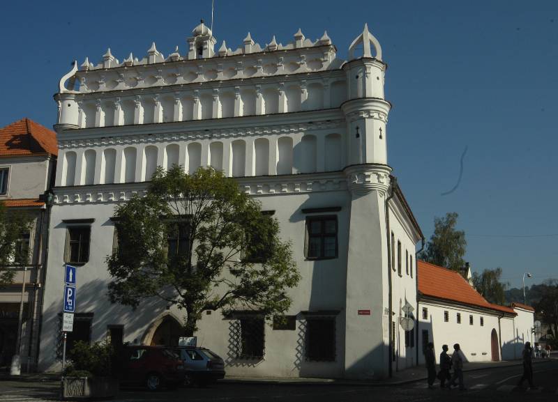
image_caption = Museum
symbol =Sušice_znak.png
official_name =
motto =
nickname =
country = Czech Republic
country_
state =
region = Plzeň
region_type = Region
district = Klatovy
district_type = District
commune = Sušice
municipality =
part_fold = 1
part = Albrechtice
part1 = Červené Dvorce
part2 = Divišov
part3 = Dolní Staňkov
part4 = Humpolec
part5 = Chmelná
part6 = Milčice
part7 = Nuzerov
part8 = Rok
part9 = Stráž
part10 = Sušice I
part11 = Sušice II
part12 = Sušice III
part13 = Volšovy
part14 = Vrabcov
part15 = Záluží
river = Otava
location = Náměstí Svobody
elevation = 472
lat_d = 49
lat_m = 13
lat_s = 52
lat_NS = N
long_d = 13
long_m = 31
long_s = 13
long_EW = E
highest =
highest_elevation =
highest_lat_d =
highest_long_d =
lowest =
lowest_elevation =
lowest_lat_d =
lowest_long_d =
area = 45.63
area_round = 2
population = 11591
population_date = 2006-10-02
population_density = auto
established = 1273
established_type = Founded
mayor = Petr Mottl
timezone =
map_background = Czechia - background map.png
map_locator = Czechia
commons = Sušice
statistics = [http://www.statnisprava.cz/ebe/ciselniky.nsf/i/557153 statnisprava.cz]
website = [http://www.sumavanet.cz/susice/default.asp?lngen www.sumavanet.cz/susice]
footnotes =Sušice (IPA2|ˈsʊʃɪtsɛ; _de. Schüttenhofen) is a town in the
Pilsen Region of theCzech Republic . It lies on theOtava River , some Unit length|km|60 to the south from the region capital ofPilsen .Sušice is also the seat of the Municipality with Extended Competence and the Municipality with Commissioned Local Authority.
History
In 1683, a baroque chapel was built on what is now the edge of the town. This chapel still stands and is somewhat fortress like in its appearance with its outerwalls set in a square formation and the chapel located in the center.
Resources
*citation
last =Czech Statistical Office
year = 2005
title = Vybrané údaje podle správních obvodů obcí s rozšířenou působností a správních obvodů obcí s pověřeným obecním úřadem k 31. 12. 2005
url = http://www.czso.cz/xp/redakce.nsf/i/B78124165F6D1D93C1256F1800285EDB/$File/1-vybr.xls
accessdate = 2005-03-08


Wikimedia Foundation. 2010.