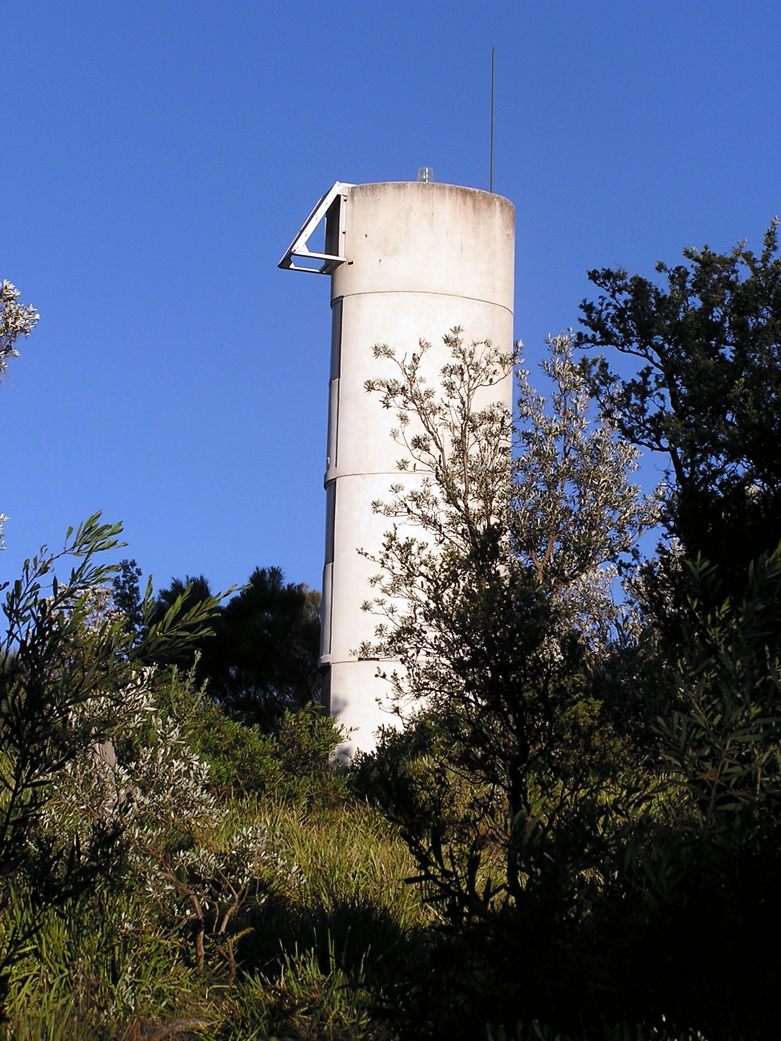
- Burrewarra Point
Infobox_lighthouse|name=Burrewarra Point
location=New South Wales, Australia
caption=
coordinates =
yearlit= 1974
yeardeactivated=
automated= 1974
intensity=
elevation=62 metres
range= convert|17|nmi|km|0
foundation=
construction= Concrete
marking=White concrete tower, no lantern
shape= Cylindrical
height=10 metres
lens=
characteristics=Fl. (4) 15 s
admiralty=K2584
NGA=6520
ARLHS=AUS-016Burrewarra Point is to the north of Broulee and 25 kilometers to the south of Batemans Bay on the south coast of
New South Wales ,Australia .On the point is a
lighthouse maintained by theAustralian Maritime Safety Authority . The current structure was built in 1974. It was converted to solar power in 1984. It was never a manned lighthouse. Itslight characteristic is a group of four flashes every fifteen seconds emitted on a focal plane at 62 metres.The next lighthouse to the north is the
Warden Head Lighthouse at Ulladulla. The next lighthouse to the south is onMontague Island off the coast near Narooma.The remains of concrete igloo buildings of No. 17 Radar Station used by the
Royal Australian Air Force duringWorld War II can be found at Burrewarra Point.External links
* [http://www.lighthouse.net.au/lights/NSW/Burrewarra%20Point/Burrewarra%20Point.htm About the lighthouse]
* [http://www.maizels.nu/lights/nsw/burrewarra_point/ Lighthouse statistics]
Wikimedia Foundation. 2010.
