Matiatia

Matiatia
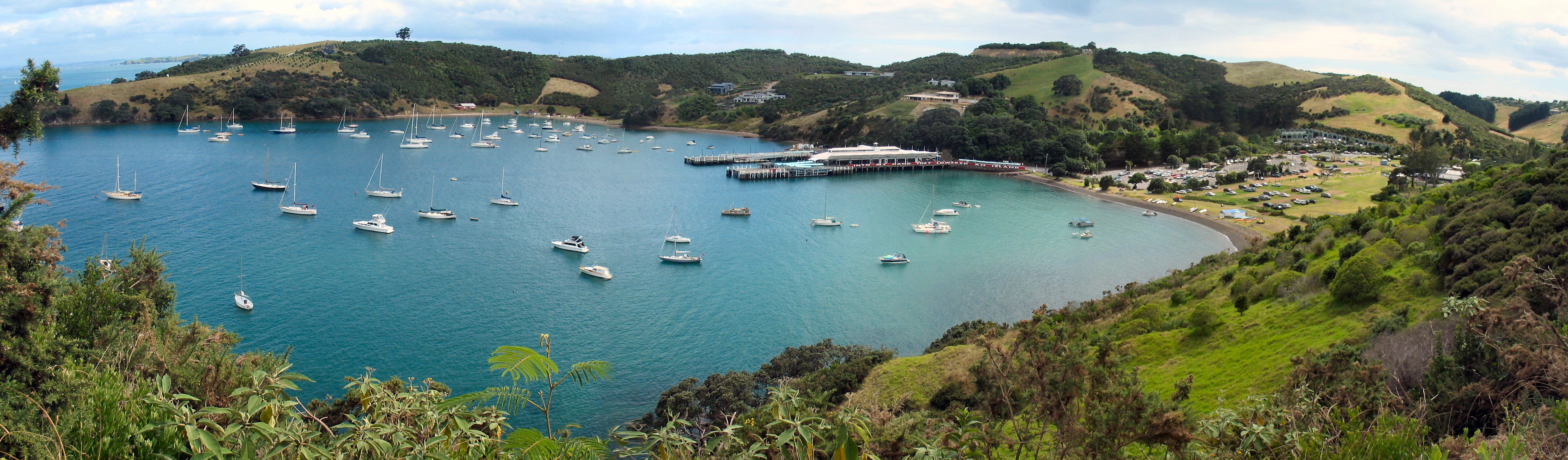
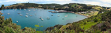
The valley and bay of Matiatia.

Matiatia - A wharf, foreshore, valley and surrounding hills known as the Gateway to Waiheke Island, Auckland New Zealand. Also a type of beach grass, now rare, which was known to grow at the gateway.

Coordinates: 36°46′52″S 174°59′33″E / 36.781128°S 174.992590°E / -36.781128; 174.992590


Wikimedia Foundation. 2010.

Игры ⚽ Нужно решить контрольную?

Look at other dictionaries:

  • Waiheke Island — is in the Hauraki Gulf of New Zealand and is located about 17.7 km (about 35 minutes by ferry) from Auckland. [http://www.waihekenz.com/information.html Waiheke Island Information] (from the official Waiheke website of Tourism Auckland)] The… …   Wikipedia

  • Community and People of Waiheke Island — A token of victory: Auckland City Council (by then having purchased the company that proposed to redevelop Matiatia) pays CAPOW s court costs after a successful court action against the redevelopment. The Community and People of Waiheke Island… …   Wikipedia

  • Auckland (region) — Auckland (région) Auckland Region Administration Pays   …   Wikipédia en Français

  • Auckland (région) — Auckland Region Administration Pays   …   Wikipédia en Français

  • Ile Waiheke — Île Waiheke Île Waiheke Image satellite de l île Waiheke. Géographie Pays …   Wikipédia en Français

  • L'Homme qui plantait des arbres — L’Homme qui plantait des arbres Auteur Jean Giono Genre nouvelle Version originale …   Wikipédia en Français

  • Région d'Auckland — Auckland (région) Auckland Region Administration Pays   …   Wikipédia en Français

  • Waiheke Island — Île Waiheke Île Waiheke Image satellite de l île Waiheke. Géographie Pays …   Wikipédia en Français

  • Île Waiheke — Image satellite de l île Waiheke. Géographie Pays …   Wikipédia en Français

  • Isla Waiheke — Waiheke Localización País  …   Wikipedia Español

Share the article and excerpts

Direct link
Do a right-click on the link above
and select “Copy Link”