- Žďár nad Sázavou
Geobox|Settlement
name = Žďár nad Sázavou
native_name =
other_name =
category = Town
etymology =
official_name =
motto =
nickname =
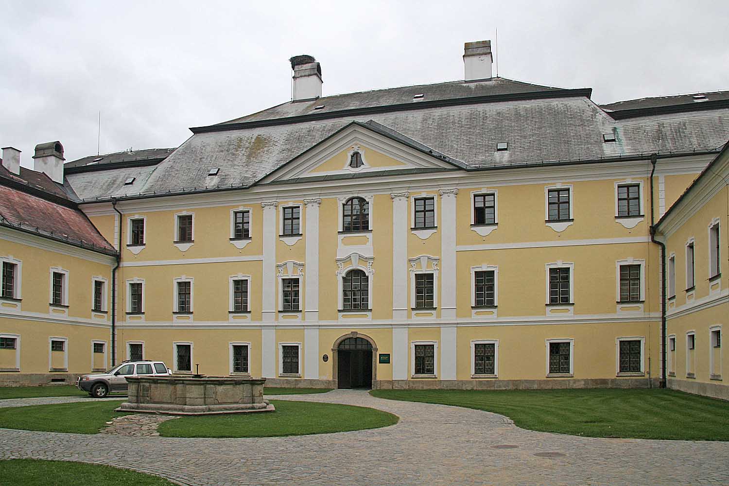 | image_caption = Castle courtyard
 | flag_border =
symbol = Zdar nad Sazavou CoA.png| symbol_size = | symbol_type =
state =
region = Vysočina | region_type = Region
district =
municipality =
landmark =
river = Sázava
location =
elevation =
lat_d = 49| lat_m = 33| lat_s = 54| lat_NS = N
long_d = 15| long_m = 56| long_s = 26| long_EW = E
coordinates_type =
highest =
highest_location =
highest_elevation =
highest_lat_d = | highest_lat_m = | highest_lat_s = | highest_lat_NS =
highest_long_d = | highest_long_m = | highest_long_s = | highest_long_EW =
highest_coordinates_type =
lowest =
lowest_location =
lowest_elevation =
lowest_lat_d = | lowest_lat_m = | lowest_lat_s = | lowest_lat_NS =
lowest_long_d = | lowest_long_m = | lowest_long_s = | lowest_long_EW =
lowest_coordinates_type =
length =
width =
area = 37.06 | area_round = 2
area_metro =
population = 23469 | population_as_of = 2006
population_note =
population_urban =
population_metro =
population_density =
established =1100 | established_type = First mentioned
established1 = | established1_type =
date =
mayor =
timezone = | utc_offset =
timezone_DST = | utc_offset_DST =
postal_code = 591 01
area_code =
code =
whs_name = Pilgrimage Church of St. John of Nepomuk at Zelená Hora
whs_year = 1994
whs_number = 690
whs_region = 4
whs_criteria = iv
free =

map_background = Czechia - background map.png
map_locator = Czechia
map1 =
map1_background =
map1_caption =
map1_locator =
website = [http://www.zdarns.cz/ www.zdarns.cz]
commons = Žďár nad Sázavou
footnotes =Žďár nad Sázavou (IPA2|ˈʒɟaːr ˈnat ˈsaːzavoʊ̯; _de. Saar) is a city in the
Vysočina Region of theCzech Republic . It has approximately 24,000 inhabitants and is the administrative capital of theŽďár nad Sázavou District . The city is a prominent centre of tourism, as aski resort in winter and a popular destination forcycling andbathing in the summer. It is also situated on a major rail link betweenPrague andBrno .Žďár nad Sázavou gained prominence after
World War II when the communist government decided to build steel works in the city, called ZDAS. Within less than twenty years the population of the city grew five-fold, from about 3,000 in 1950 to 15,000 in 1969, and the number of inhabitants continued to grow until the 1980s. With the fall of the communist regime in 1989 the significance of heavy industry started to fall; however, ZDAS continues production today.Villages Mělkovice, Radonín, Stržanov and Veselíčko are administrative parts of Žďár nad Sázavou. The
Pilgrimage Church of Saint John of Nepomuk , one of theWorld Heritage Site s, is situated there.Gallery
External links
*cs icon [http://www.zdarns.cz/ Municipal website]


Wikimedia Foundation. 2010.