- Céide Fields
-
Coordinates: 54°18′18″N 9°27′25″W / 54.305°N 9.45694°W
 Céide Fields Neolithic Site
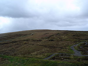
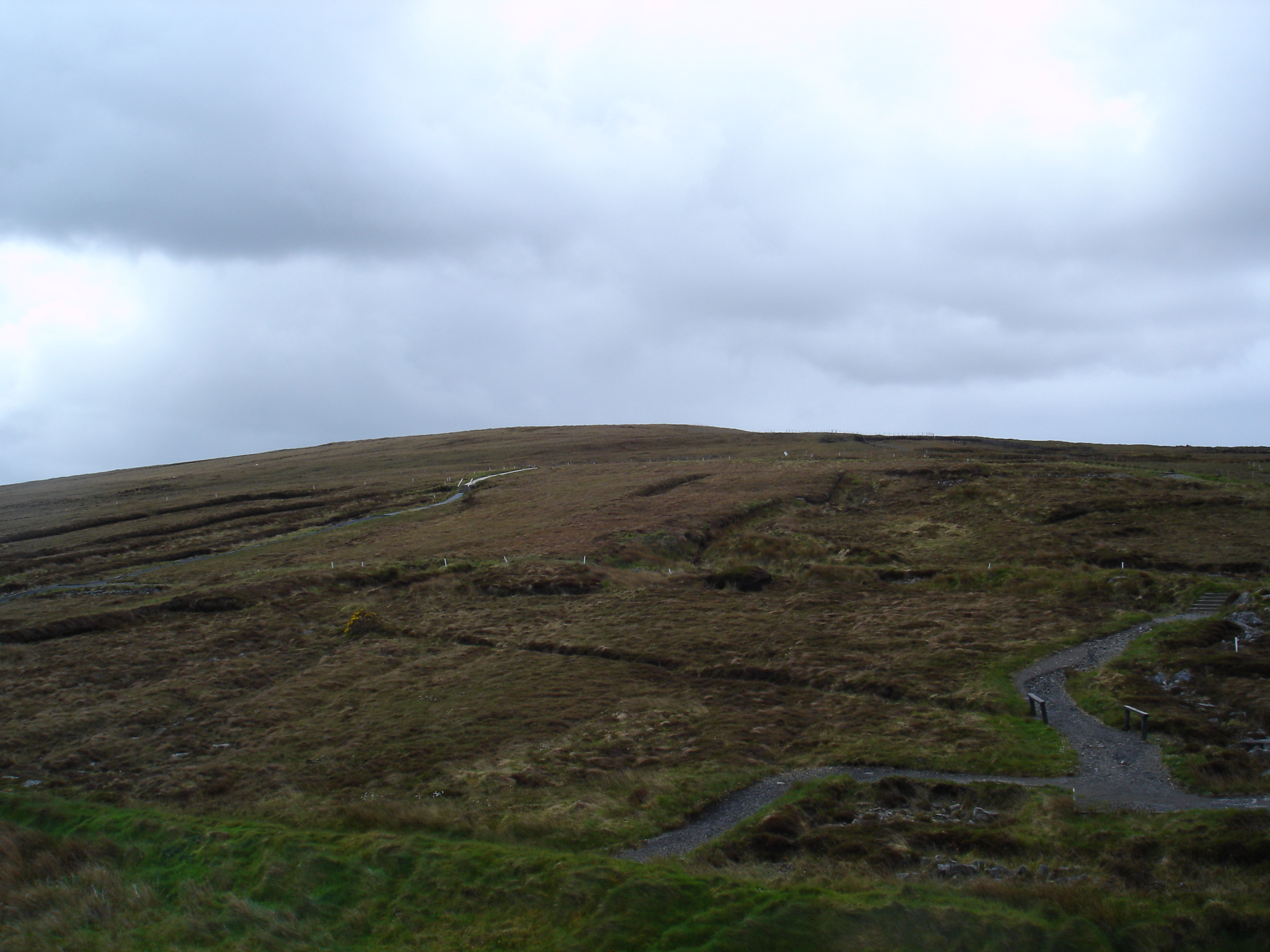
The Céide Fields (Irish: Achaidh Chéide, meaning "fields of the flat-topped hill") [1] [2] [3] is an archaeological site on the north Mayo coast in the west of Ireland, about 8 kilometres northwest of Ballycastle. The site is the most extensive Stone Age site in the world and contains the oldest known field systems in the world.[4][5] Using various dating methods, it was discovered that the creation and development of the Céide Fields goes back some five and a half thousand years.[6]
Contents
History
The discovery of the Céide Fields originally began in the 1930s when a local man, schoolteacher Patrick Caulfield, noticed piles of stones which were uncovered as he cut away turf for fuel. In these piles he saw some design which could not have been haphazard. Caulfield noted that the stones had to have been placed by people, because their configuration was clearly unnatural and deliberate. Furthermore, they were positioned below the bog, which meant they were there before the bog developed, implying a very ancient origin.
The unravelling of the true significance of this discovery did not begin for another forty years when Patrick's son, Seamus, having studied Archaeology, began to investigate further. Investigations revealed a complex of fields, houses and megalithic tombs concealed by the growth of blanket bogs over the course of many centuries.[7]
Research and preservation
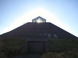 The Céide Fields Visitor Centre.
In order to preserve the site and ensure the continuation of research, a simple method was utilised to explore the fields. This involved the location and mapping of these hidden walls by probing with an iron rod. The ensuing excavation of habitation sites and tombs reveals the way of life of people living 200 generations ago. They were a large, highly organised, peaceful community[citation needed] of farmers who worked together on clearing hundreds of acres of pine forests (pollen from pine trees have been found in the peat) and dividing the land into regular field systems[citation needed]. Their main economy was cattle rearing but they were skilled craftspeople and builders in both wood and stone and also had strong spiritual beliefs[citation needed].
It was discovered that these people arrived in a land with a substantial forest canopy. This was cleared to provide access to arable land and to provide building material and firewood. This clearance continued onward and outward away from the area in continuing procurement of firewood.
The climate at the time was much warmer, leading to almost year-round growth potential. Samples taken from the remains of trees found in the bog provide ample evidence of this.
For a while, these people prospered, but some changes led to the development of raised bogs and the transformation of the arable land into barren and unusable land. It is speculated[by whom?] that the removal of the tree canopy helped cause this change. Where tree cover is substantial, most of the rain never reaches the ground. Instead it stays on the top of the canopy and is either absorbed or evaporates back into the atmosphere. With the removal of the forests, all of the rain reached the ground and, it is believed[by whom?], leached the earth of its nutrients. This idea is supported by the presence of an ironpan in the sub-soil over the area of the Céide Fields.[citation needed]
See also
- Celtic field
- Faulagh
- Kilcommon
References
- ^ Achaidh Chéide, Placenames Database of Ireland. Retrieved: 2010-09-10.
- ^ A Pompeii in Slow Motion, New York Times 2001-07-08. Retrieved: 2010-09-10.
- ^ Céide, "a hill level at top", Placenames Database of Ireland. Retrieved: 2010-09-10.
- ^ http://www.discoverireland.ie/Destinations/Location.aspx?LocationID=294
- ^ "Céide Fields Visitor Centre". Museums of Mayo. http://www.museumsofmayo.com/ceide.htm. Retrieved 2009-02-03.
- ^ http://www.museumsofmayo.com/ceide.htm
- ^ Museums of Mayo. http://www.museumsofmayo.com/ceide1.htm Retrieved Feb. 25, 2007
External links
- Céide Fields at Heritage Ireland
- Photo Gallery from Céide Fields
- Céide Fields web site
- Aerial view from Ordnance Survey of Ireland site
Categories:- 4th-millennium BC architecture
- Geography of County Mayo
- Former populated places in Ireland
- Museums in County Mayo
- Archaeology museums in the Republic of Ireland
- Archaeological sites in County Mayo

Wikimedia Foundation. 2010.