- Lippe
Infobox German district
name=Lippe
state=North Rhine-Westphalia
capital=Detmold
regierungsbezirk=Detmold
area=1,246.398
population=359.192
population_as_of=31/12/2006
density=288
carsign=LIP
url=http://www.lippe.de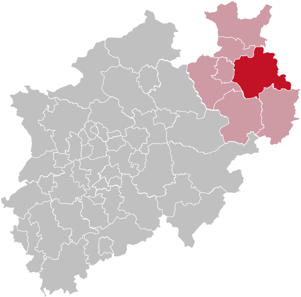 "This article is about the district Lippe. For the like-named river see
 Lippe River . For the historic country seePrincipality of Lippe "Lippe (IPA2|ˈlɪpə) is a "Kreis" (district) in the east of
North Rhine-Westphalia ,Germany . Neighboring districts are Herford,Minden-Lübbecke ,Schaumburg ,Hameln-Pyrmont , Holzminden, Höxter, Paderborn, Gütersloh, and district-freeBielefeld . The district ofLippe is named after the Lords of Lippe and theirPrincipality of Lippe . It was a state within theHoly Roman Empire and today is a district of North Rhine-Westphalia.History
The Lippe district nearly covers the same area as the historic country Lippe. The first mention of this country was in 1123 and which grew in power slowly in the following centuries. In 1528 it became a county, in 1789 it was elevated to a principality.
Unlike many other countries of the
Holy Roman Empire in the area Lippe kept its independence in the Napoleonic times, and thus wasn't incorporated intoPrussia afterwards. It was one of the smaller member states of the German empire.The
Lippe Detmold Question arose in March 1895 upon the death of Prince Woldemar and took several years to resolve.The last prince of Lippe was forced to abdicate in 1918 after the end of
World War I when Germany became a republic, his country became a "Freistaat" in the German republic. In 1932 the state was subdivided into two districts, Detmold and Lemgo. These continued to exist when in 1947 Lippe lost its status as a state of Germany and by order of the British military government was incorporated into the new federal stateNorth Rhine-Westphalia ; in 1949 it was approved by the parliament. In 1969/70 the 168 cities and municipalities were merged to 16; and as the second part of the administrative reform in 1973 the two districts Lemgo and Detmold were merged to the district Lippe.Geography
The Lippe district covers the northern part of the
Teutoburg Forest , which also contain the highest elevation of the district, the 496 meter high "Köterberg" nearLügde . The lowest elevation is at theWeser river with 45.5 m. The main river is theWerre , and at the northern border of the district theWeser .Coat of arms
Towns and municipalities
Culinary Art
The most famous dish served in Lippe is the
Pickert . In the past it was known as a meal for poor people. The main ingredients are potatoes, flour and raisins.External links
* [http://www.lippe.de Official website] (German)
* [http://www.lwl.org/westfaelische-geschichte/portal/Internet/ku.php?tab=pro&ID=40 Ordinances and by-laws of the county of Lippe online]
* [http://www.lwl.org/westfaelische-geschichte/portal/Internet/ku.php?tab=que&ID=1 Guidelines for the integration of the Land Lippe within the territory of the federal state North-Rhine-Westphalia of 17th January 1947]
*CathEncy|wstitle=Lippe - Religious history of Lippe from the Reformation until the early twentieth century
Wikimedia Foundation. 2010.