- Brynseng (station)
Infobox T-bane station
name = Brynseng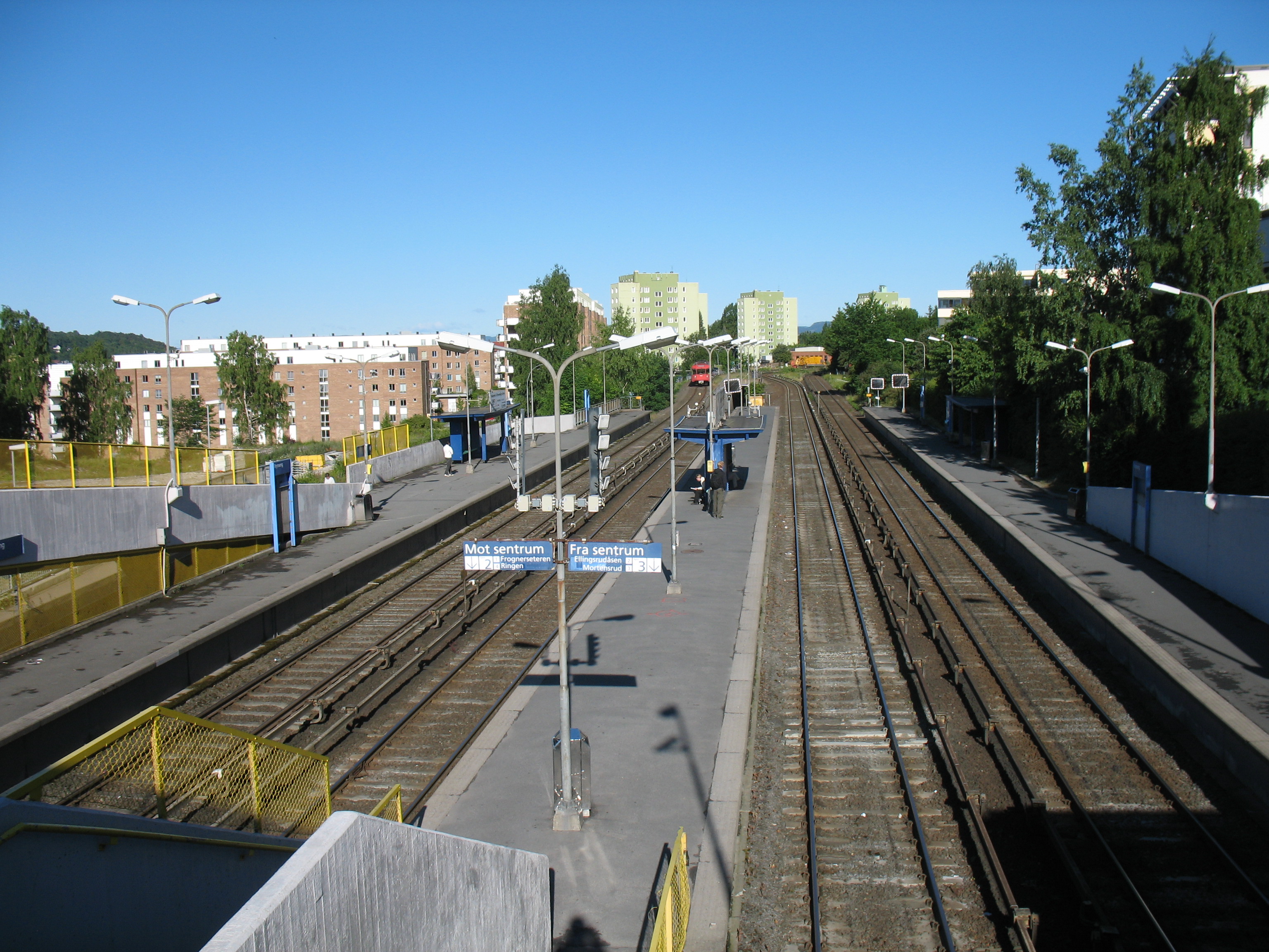
|300px
caption =
locale =Gamle Oslo
municipality =Oslo
line =Furusetbanen Østensjøbanen Lambertseterbanen
distance = 4.6 km
elevation = 84.6 m
coordinates = coord|59|54|33|N|10|48|45|E|display=title,inline|region:NO-03_scale:50000_type:railwaystation
start =1966
type = At-grade
line1 =
line1a = yes
line2 = yes
line3 = yes
line4 = yes
line5 =
line6 =
train =
flytoget =
tram =
bus = 23 Lysaker
23 Simensbråten|Brynseng is a station on the
Oslo T-bane system located in theGamle Oslo borough. The station is shared by three lines,Østensjøbanen (Line 3),Furusetbanen (Line 2) andLambertseterbanen (Line 4 and during rush hour also Line 1). The station has four platforms. The two northernmost platforms are for trains on Østensjøbanen and Furusetbanen. Lambertseterbanen uses the two other platforms before turning south and leaving the other two lines. At Brynseng station aretrain yard s for the subway company.Oslo T-bane next
station = Brynseng
line2 = yes
west2 = Helsfyr
east2 = Hellerud
westspan2 = 3
eastspan2 = 2
line3 = yes
west3 =
east3 =
westspan3 =
eastspan3 =
line4 = yes
west4 =
east4 = Høyenhall
westspan4 =
eastspan4 = 1|
Wikimedia Foundation. 2010.