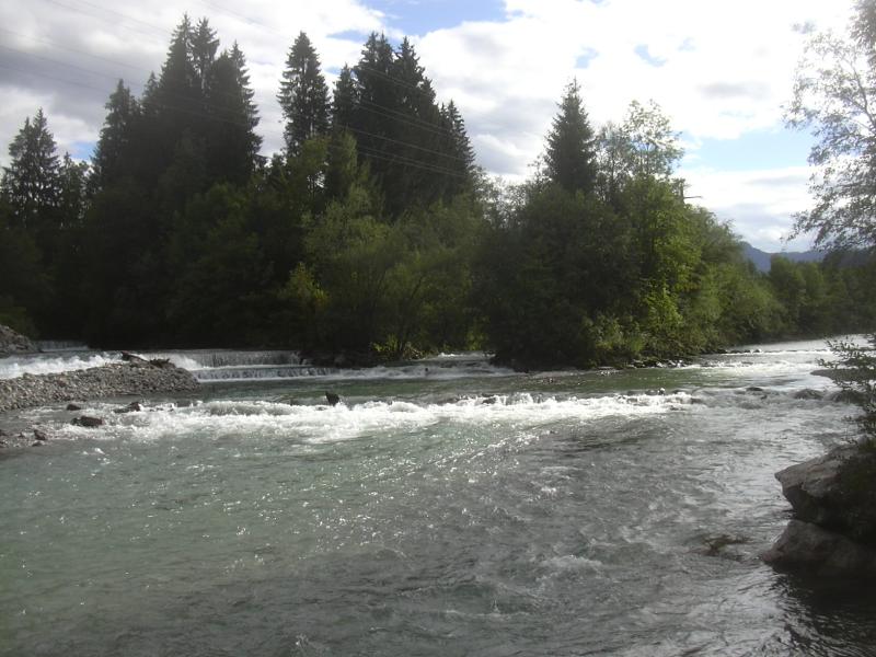
- Iller
Infobox River | river_name = Iller

caption = The river Iller nearOberstdorf
origin =Northern Limestone Alps
mouth =Danube
basin_countries =Germany ,Austria
length = 147 km
elevation =
discharge = 90 m³/s
watershed = 2,152 km²:"İller means provinces in Turkish, seeProvinces of Turkey "The Iller (ancient name Ilargus) is a river in
Bavaria ,Germany . It is a righttributary of the Danube, 147 km in length.The source is located near
Oberstdorf in theAllgäu region of theAlps , close to theAustria n border. From there it runs northwards, passing the towns ofSonthofen ,Immenstadt , andKempten . BetweenLautrach nearMemmingen andUlm it forms the border between the two German StatesBavaria andBaden-Württemberg for about 50 km. The river flows into the Danube in the city ofUlm .The Iller has a catchment area of 2,152 km². It ranks as the seventh of Bavaria's rivers by water flow, with an averaged throughput of 75 m³/s at
Senden , a short distance upstream from the Danube. The power of the river is used for the production ofhydroelectricity via eight power stations with a total net capacity of 51 MW (1998).A bicycle route follows the Iller, which is also a popular location for rafting and trekking.
Wikimedia Foundation. 2010.
