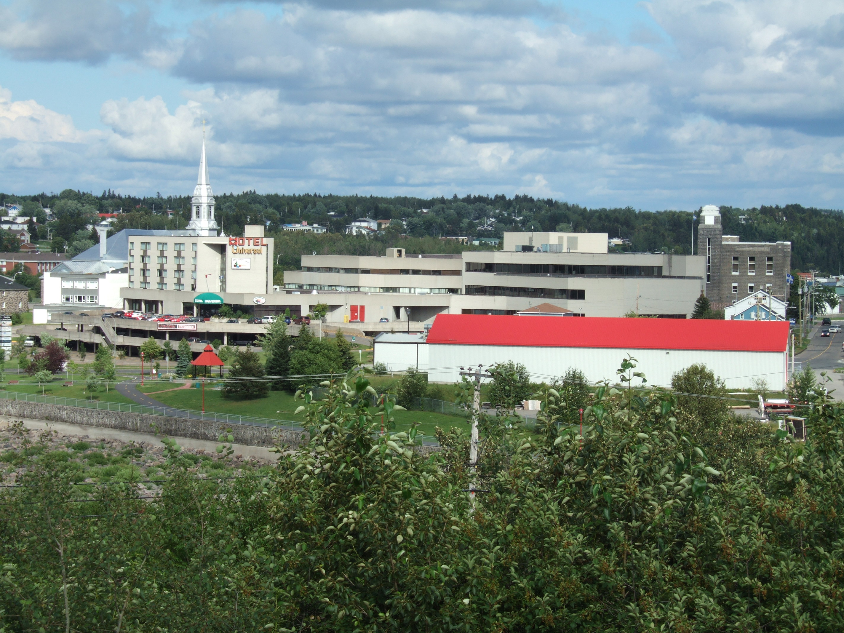
- Alma, Quebec
Infobox Settlement
official_name = Ville d'Alma
other_name =
native_name = Town of Alma
nickname =
motto = La ville de l'hospitalité
imagesize =
image_caption =
flag_size =
image_
seal_size =
image_shield =
shield_size =
image_blank_emblem =
blank_emblem_size =
mapsize =
map_caption =
pushpin_
pushpin_label_position =
subdivision_type =Country
subdivision_name =
subdivision_type1 = Province
subdivision_name1 =
subdivision_type2 = Regional County Municipality
subdivision_name2 = Lac-Saint-Jean-Est
subdivision_type3 =
subdivision_name3 =
subdivision_type4 =
subdivision_name4 =
government_type =
leader_title =
leader_name =
leader_title1 =
leader_name1 =
leader_title2 =
leader_name2 =
leader_title3 =
leader_name3 =
leader_title4 =
leader_name4 =
established_title = 1st Amalgamation
established_date = 1962 (with Isle-Maligne, Naudville, Riverbend and St-Joseph d'Alma.)
established_title2 = 2nd Amalgamation
established_date2 = 2002 (with Delisle)
established_title3 =
established_date3 =
area_magnitude =
unit_pref =
area_footnotes =
area_total_km2 =
area_land_km2 = 195.59
area_water_km2 =
area_total_sq_mi =
area_land_sq_mi =
area_water_sq_mi =
area_water_percent =
area_urban_km2 =
area_urban_sq_mi =
area_metro_km2 =
area_metro_sq_mi =
population_as_of = 2006
population_footnotes = From StatsCan
population_note =
settlement_type = Ville (Town)
population_total = 29998
population_density_km2 = 153.4
population_density_sq_mi =
population_metro = 32603
population_density_metro_km2 =
population_density_metro_sq_mi =
population_urban = 25394
population_density_urban_km2 =
population_density_urban_mi2 =
timezone = Eastern (EST)
utc_offset = -5
timezone_DST = Eastern (EDT)
utc_offset_DST = -4
latd= |latm= |lats= |latNS=
longd= |longm= |longs= |longEW=
elevation_footnotes =
elevation_m =
elevation_ft =
postal_code_type =Canadian Postal code
postal_code = G8B
area_code = 418
blank_name =Telephone Exchange s
blank_info = 212, 321, 480 - 2, 487, 662, 668 -9, 719, 720, 769
blank1_name =GNBC Code
blank1_info = EFHQD
blank2_name = NTS Map
blank2_info = 022D12
website = [http://www.ville.alma.qc.ca Alma's Official Site]
footnotes =Alma (.
The present city of Alma was born in 1962 from the merging of four villages: Isle-Maligne, Naudville, Riverbend and St-Joseph d'Alma. The oldest of the villages, St-Joseph d'Alma, was founded in 1867 by Damase Boulanger. The area became an important industrial center during the 1920s and 1930s with the construction of a hydro-electrical dam on the Grande-Décharge River, a paper mill (Price) and an aluminum smelting plant (Alcan), all of which are still in activity today.
In 2002, Alma amalgamated with
Delisle, Quebec .External links
* [http://www.ville.alma.qc.ca Alma city website]
* [http://www12.statcan.ca/english/profil01/Details/details1.cfm?SEARCH=BEGINS&ID=490&PSGC=24&SGC=24410&DataType=1&LANG=E&Province=All&PlaceName=alma&CMA=&CSDNAME=Alma&A=&TypeNameE=Census%20Agglomeration&Prov= Statistics Canada]
* [http://www.tourismealma.com Tourism: City of Hospitality !]
Wikimedia Foundation. 2010.
