- Mugdrum Island
-
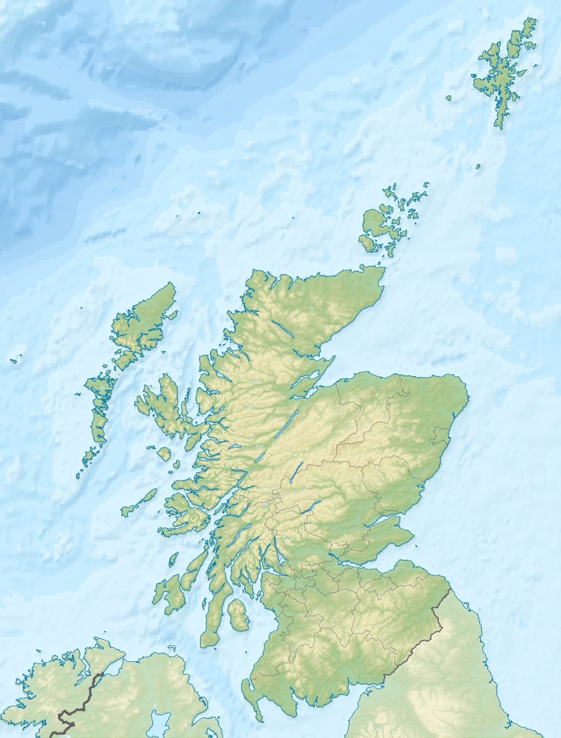
Mugdrum Island Location 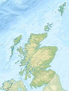
 Mugdrum Island
Mugdrum Island shown within Scotland OS grid reference NO225189 Names Gaelic name muc-dhruim Meaning of name hog-back Area and summit Area 32 ha Highest elevation 4 m Population Population nil Groupings Island group River Tay Local Authority Fife 

References [1][2] If shown, area and population ranks are for all Scottish islands and all inhabited Scottish islands respectively. Population data is from 2001 census.  Mugdrum seen from Newburgh
Mugdrum Island lies in the Firth of Tay, offshore from the town of Newburgh, Fife, in the east of Scotland.[3]
Contents
Geography
Mugdrum is low-lying and reedy, with the "North Deep" and "South Deep" channels on either side of the island. It covers an area of 32 acres (130,000 m2).[3]
History
Mugdrum's name is from muc-dhruim, the Scottish Gaelic for hog-back. However, this was applied to the coast opposite, which part it was named for.[3]
The reeds were once harvested for thatching and for protecting potatoes during transshipment. Until 1926, a 50-acre (200,000 m2) farm grew cereals, potatoes and turnips in the island's alluvial soil. It is now a nature reserve under the stewardship of the Tay Valley Wildfowlers' Association.
The Laing Museum in Newburgh preserves the stuffed body of a two-headed kitten born in the 19th century on Mugdrum.
See also
- List of outlying islands of Scotland
Footnotes
- ^ 2001 UK Census per List of islands of Scotland
- ^ Ordnance Survey
- ^ a b c "Historical perspective for Mugdrum Island". Gazetteer for Scotland. http://www.scottish-places.info/features/featurehistory1607.html. Retrieved 2008-10-05.
External links
Categories:- Nature reserves in Scotland
- Islands of the Tay
- Protected areas of Fife
- Geography of Fife
- Scottish protected area stubs
- Fife geography stubs

Wikimedia Foundation. 2010.