- Menston
-
Coordinates: 53°53′28″N 1°44′04″W / 53.8912°N 1.7344°W
Menston 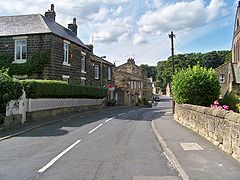
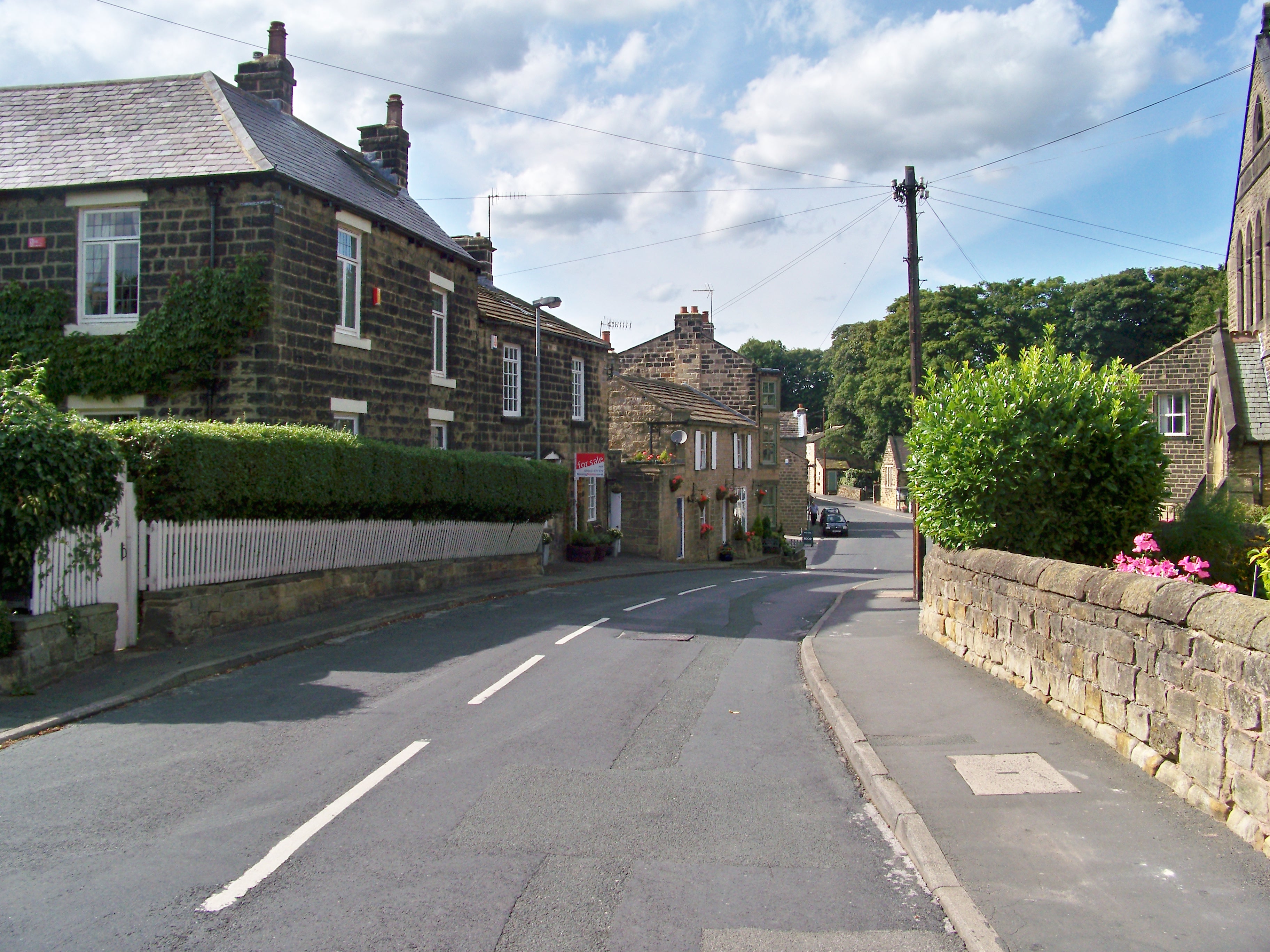
Main Street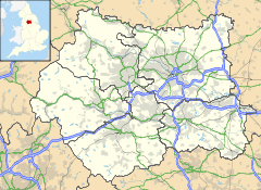
 Menston
Menston shown within West YorkshirePopulation 4,660 OS grid reference SE174439 Parish Menston Metropolitan borough City of Bradford Metropolitan county West Yorkshire Region Yorkshire and the Humber Country England Sovereign state United Kingdom Post town ILKLEY Postcode district LS29 Dialling code 01943 Police West Yorkshire Fire West Yorkshire Ambulance Yorkshire EU Parliament Yorkshire and the Humber UK Parliament Shipley List of places: UK • England • Yorkshire Menston is a village and civil parish in the county of West Yorkshire, England. Along with Burley in Wharfedale, Menston is part of Wharfedale Ward in the metropolitan borough of the City of Bradford. It has a population of 4,660.[1]
Contents
Landmarks
Menston's Anglican parish church is dedicated to St John the Divine, and is part of the Diocese of Bradford. Other notable buildings include High Royds Hospital and St. Mary's School, Menston comprehensive school.
The site of High Royds Hospital, originally the West Riding Pauper Lunatic Asylum, which is just inside the City of Leeds metropolitan borough, has been converted to housing called "Highroyds Village". This is a reflection of Menston's growing size. In the past 20 years there has been increased demand for much needed housing in the area. The population of Menston has been steadily increasing. As a result Menston primary school, which was threatened with closure in the 1980s, has increased student numbers.[2]
Transport
It lies on the A65, approximately ten miles north-west of the centre of Leeds and 9 miles north of Bradford centre, between Guiseley and Burley-in-Wharfedale. Menston also has a railway station between Guiseley and Burley on the Wharfedale line, with direct trains to Leeds, Bradford Forster Square and Ilkley. There are bus services to Leeds, Otley and Wetherby (an infrequent bus service run by Utopia). Menston once had rail links to Otley, via the (now closed) Arthington to Menston Line.
Cultural references
Highroyds is mentioned in the Kaiser Chiefs song of the same name, from the album, Yours Truly Angry Mob.[3]
Gallery
-

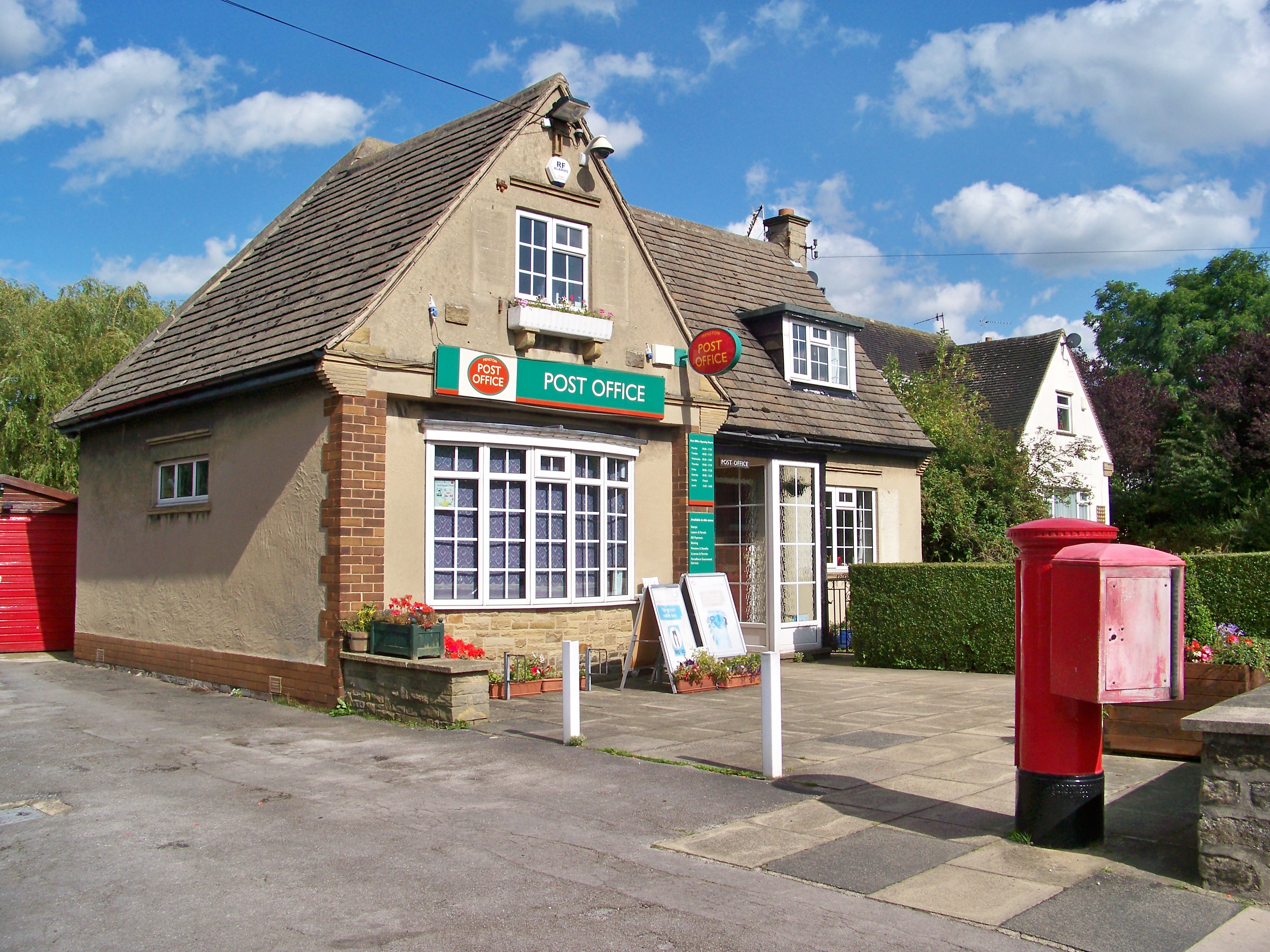
Menston Post Office
-

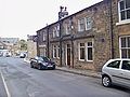
Shops on Main Street and Burley Lane junction
-

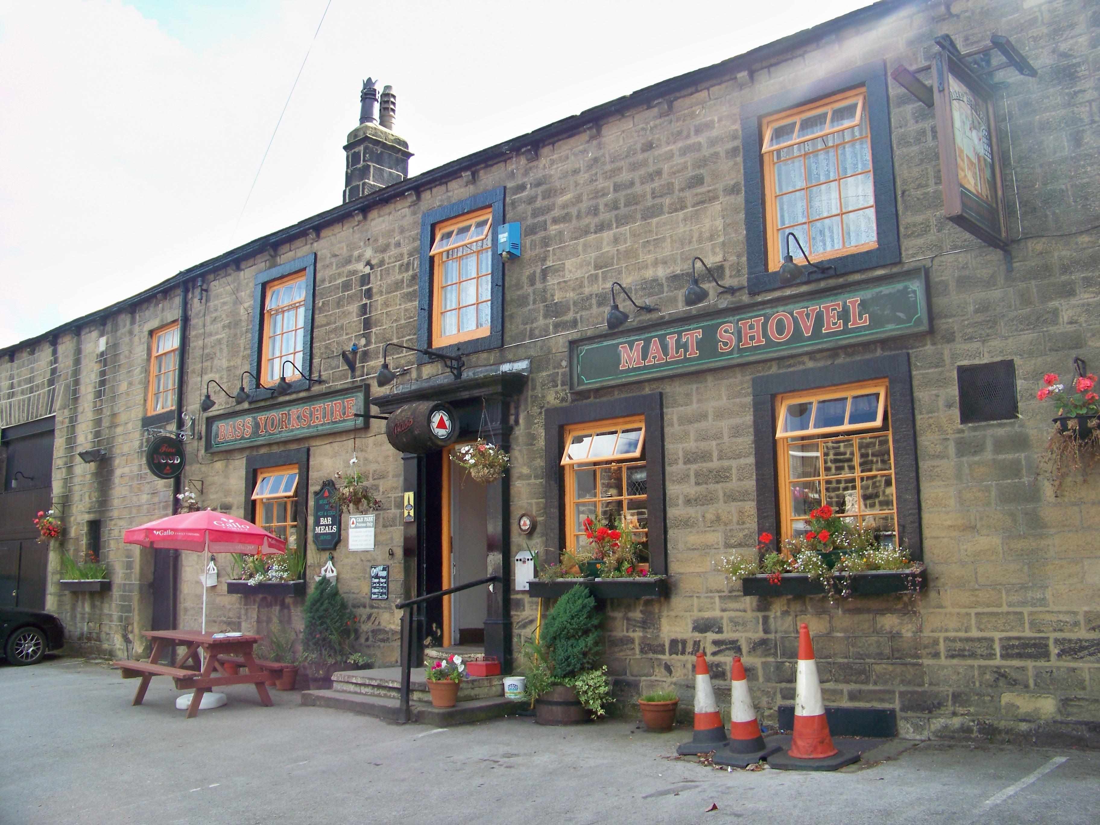
The Malt Shovel
-
Menston Arms
Sport
Menston is home to football club, Menston Town FC who currently play in the Wharfedale Triangle Division 2 after being established in 2010[4]
Notable residents
Paul Jewell, a retired footballer and the former manager of Bradford City, Sheffield Wednesday, Wigan Athletic and most recently Derby County, has lived in the village since the 1990s.[5] Smith Wigglesworth, a notable early Pentecostal preacher, was born in Menston in 1859.
Location grid

Weston Burley-in-Wharfedale 
Carlton  Menston

Guiseley References
- ^ "Census 2001 : Urban Areas : Table KS01 : Usual Resident Population". Office for National Statistics. http://www.statistics.gov.uk/statbase/Expodata/Spreadsheets/D8271.xls. Retrieved 2009-08-26.
- ^ "Menston's new homes will build extra pressure on schools (From Ilkley Gazette)". www.ilkleygazette.co.uk. http://www.ilkleygazette.co.uk/news/1271042.menstons_new_homes_will_build_extra_pressure_on_schools/. Retrieved 2009-05-30.
- ^ "SongMeanings". www.songmeanings.net. http://www.songmeanings.net/songs/view/3530822107858650685/. Retrieved 2009-05-30.
- ^ http://www.menstontown.co.uk
- ^ [1]
External links
- Menston Village
- Menston at the Open Directory Project
- St Mary's school, Menston
- St John's church, Menston
- Menston information from local councillor Matt Palmer
- Menston Town FC
Categories:- Villages in West Yorkshire
- Wharfedale
- Geography of Bradford
- Civil parishes in West Yorkshire
- West Yorkshire geography stubs
-


Wikimedia Foundation. 2010.