- Lower Oder Valley National Park
Infobox_protected_area | name = Lower Oder Valley National Park
("German": Nationalpark Unteres Odertal)
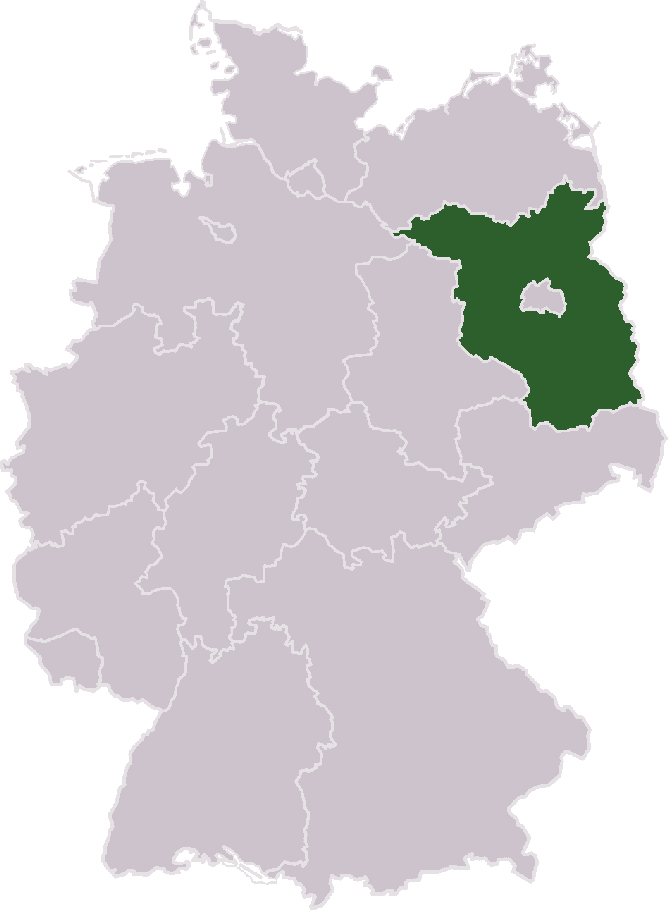
caption = Map of Germany
locator_x = 252
locator_y = 95
location = flagicon|GermanyBrandenburg ,Germany
nearest_city =Schwedt
lat_degrees = 53
lat_minutes = 03
lat_seconds = 0
lat_direction = N
long_degrees = 14
long_minutes = 16
long_seconds = 0
long_direction = E
area = 105 km²
established =1997
governing_body = Nationalparkverwaltung Unteres OdertalThe Lower Oder Valley International Park is a shared German-Polish nature reserve. It comprises the western banks of the
Oder ( _pl. Odra) river within theUckermark district inBrandenburg as well as the eastern (Polish) banks further north. The German part of the core area is the "Nationalpark Unteres Odertal" (Lower Oder Valley National Park). The Polish part of the core area is the "Park Krajobrazowy Dolina Dolnej Odry" (Lower Odra Valley Landscape Park ). The area is 165 km² (Germany 105 km², Poland 60 km²); together with adjoining nature reserves in Germany and Poland the total area is 1,172 km². By decision of the German-Polish Environmental Council in 1992 the German, Polish and Brandenburg environment ministers as well as thevoivode ofSzczecin created the Lower Oder Valley International Park.Rare animals in the region include the
black stork , theaquatic warbler , thecorncrake , the Europeanotter and theEuropean beaver .ee also
*
List of landscape parks of Poland External links
* [http://www.unteres-odertal.de Tourism Association] de icon
Wikimedia Foundation. 2010.

