- Jernbanetorget (station)
Infobox T-bane station
name = Jernbanetorget
caption =
locale =Jernbanetorget
municipality =Oslo
coordinates = coord|59|54|42|N|10|45|3|E|display=title,inline|region:NO-03_scale:10000_type:railwaystation
distance = 0.5 km
elevation = -5.2 m
start = 1966
type = Underground
line =Common Tunnel
line1 = yes
line2 = yes
line3 = yes
line4 = yes
line5 = yes
line6 = yes
train = At Oslo S
Express trains
Regional trains
Local trains
flytoget = yes
tram = oslo tram icon|11|12|13|17|18|19
bus =Jernbanetorget Oslo Bus Terminal |Jernbanetorget is a
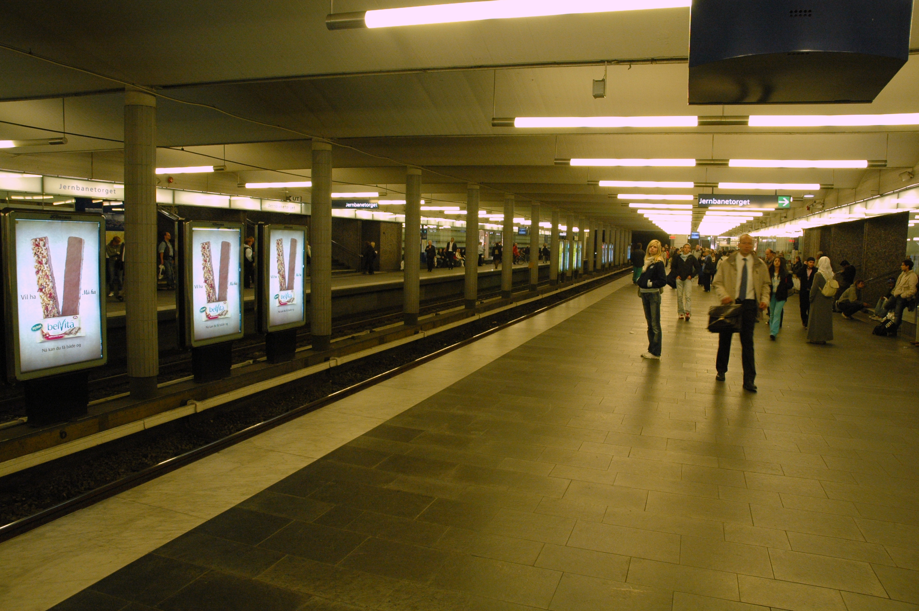
rapid transit station on theOslo T-bane, in theCommon Tunnel used by all lines under the city centre. It is located between Stortinget to the west and Grønland to the east. Until the construction of the station at Stortinget, Jernbanetorget was the end station for the eastern lines in downtown. [cite web |url=http://www.sporveien.no/templates/Page____153.aspx |title= Milepæler 1875 - 2005 |author =Oslo Sporveier |accessdate= 2006-12-09 |language= Norwegian ] Along with theOslo Central Station ,Oslo Bus Terminal and the tram and bus station above ground, Jernbanetorget is the largesttransport hub in Norway.All six of the subway lines pass through the station, totaling 24 departures per hour during most of the day. The station is 0.5 km from Stortinget and submerged 5.2 m below sea level. [cite web |url=http://www.sporveien.no/templates/Page____766.aspx |title= T-banestasjonene i øst |author =
Oslo Sporveier |accessdate= 2006-12-09 |language= Norwegian ]References
Oslo T-bane next
station = Jernbanetorget
line1 = yes
west1 = Stortinget
east1 = Grønland
westspan1 = 6
eastspan1 = 6
line2 = yes
west2 =
east2 =
westspan2 =
eastspan2 =
line3 = yes
west3 =
east3 =
westspan3 =
eastspan3 =
line4 = yes
west4 =
east4 =
westspan4 =
eastspan4 =
line5 = yes
west5 =
east5 =
westspan5 =
eastspan5 =
line6 = yes
west6 =
east6 =
westspan6 =
eastspan6 =|
Wikimedia Foundation. 2010.
