- Oyam, Uganda
-
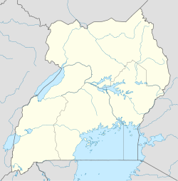
Oyam Location in Uganda Coordinates: 02°14′04″N 32°23′06″E / 2.23444°N 32.385°E Country  Uganda
Region Northern Uganda Sub-region Lango sub-region District Oyam District Government - Mayor Elevation 2,953 ft (900 m) Population (2011 Estimate) - Total 14,500 Oyam is a town in Northern Uganda. It is the main municipal, administrative and commercial centre of Oyam District. The district is named after the town.
Contents
Location
Oyam is bordered by Anyeke to the north, Loro to the east, Adiegi to the south, Aber to the southwest and Pamwa to the northwest. The town is located approximately 73 kilometres (45 mi), by road, west of Lira, the largest city in Lango sub-region. The coordinates of the town are:02 14 04N, 32 23 06E (Latitude:2.2345; Longitude:32.3850).
Population
In 2010, the Uganda Bureau of Statistics (UBOS), estimated the population of the town at 14,000. [1] In 2011, UBOS estimated the mid-year population of Oyam at 14,500.[2]
Landmarks
The landmarks within the town limits or close to the edges of the town include:
- The headquarters of Oyam District Administration
- The offices of Oyam Town Council
- Oyam Central Market
See also
- Oyam District
- Lango sub-region
- Langi people
- Northern Uganda
References
 Oyam District
Capital: Oyam Towns and villages OyamGeography Victoria Nile · Karuma Falls · Karuma Power StationNotable landmarks Categories:- Populated places in Uganda
- Cities in the Great Rift Valley
- Northern Region, Uganda
- Oyam District
Wikimedia Foundation. 2010.

