- Ooievaarsnest
-
The Stork's Nest
Ooievaarsnest— Neighborhood — Nickname(s): Het Uivernestje The quarter Oud-Kasteel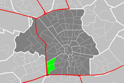
Coordinates: 51°24′51″N 5°26′01″E / 51.41417°N 5.43361°E Area – Total 0.87 km2 (0.3 sq mi) Population (01 January 2010) – Total 917 – Density 1,054/km2 (2,729.9/sq mi) Time zone CET Website http://www.ooievaar.dse.nl/ (Neighborhood association) The Ooievaarsnest is a neighborhood in the quarter of Oud Kasteel, in the district of Gestel, in the city of Eindhoven in The Netherlands. The neighborhood is located in the extreme southwest of the city and adjoins the southwestern city limits; it is separated from Veldhoven only by the A2 motorway.
The name of the neighborhood literally means "The stork's nest". The neighborhood was named after a 15th century farm that was located in the area. This farm was torn down around 1970 to make way for new housing, after which housing construction commenced around 1975. Construction started with the Ontginningsweg (litt. the Land reclamation road), which was originally laid as a service road for construction vehicles, and moved outward from there in two directions.
Houses in the area were built as purchased housing from the start (i.e. no rental housing was ever planned or zoned) and the neighborhood was planned to be a mixture of housing intended for middle class and higher income families. As a rule of thumb property sizes and pricing increase from north to south in the neighborhood, with somewhat smaller row houses in the Elswout (on the northern end), through somewhat larger row houses and gardens around the Twickel and Warmelo, through to small villas on the Herinkhave and the Hunenborg (which are also nominally on the waterfront of the local ponds). As of 2010, the average value of neighborhood houses for tax purposes (the WOZ-waarde) is €464.000 .
There is a neighborhood association known as the "Wijkvereniging het Ooievaarsnest", which regularly organizes neighborhood festivities and events for children. It has also represented the neighborhood in matters pertaining to expansion of the motorway, improvement of the sewers and improvement of rainwater drainage capacity (a long-standing neighborhood problem due to bad land preparation, as a result of hasty building in the 1970s).
Images from the neighborhood 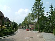 Looking westward down the Twickel, from the corner of the Rooswijck
 Overlooking the neighborhood playground, between the Rooswijck, the Twickel, the Soetendaal and the bicycle path.
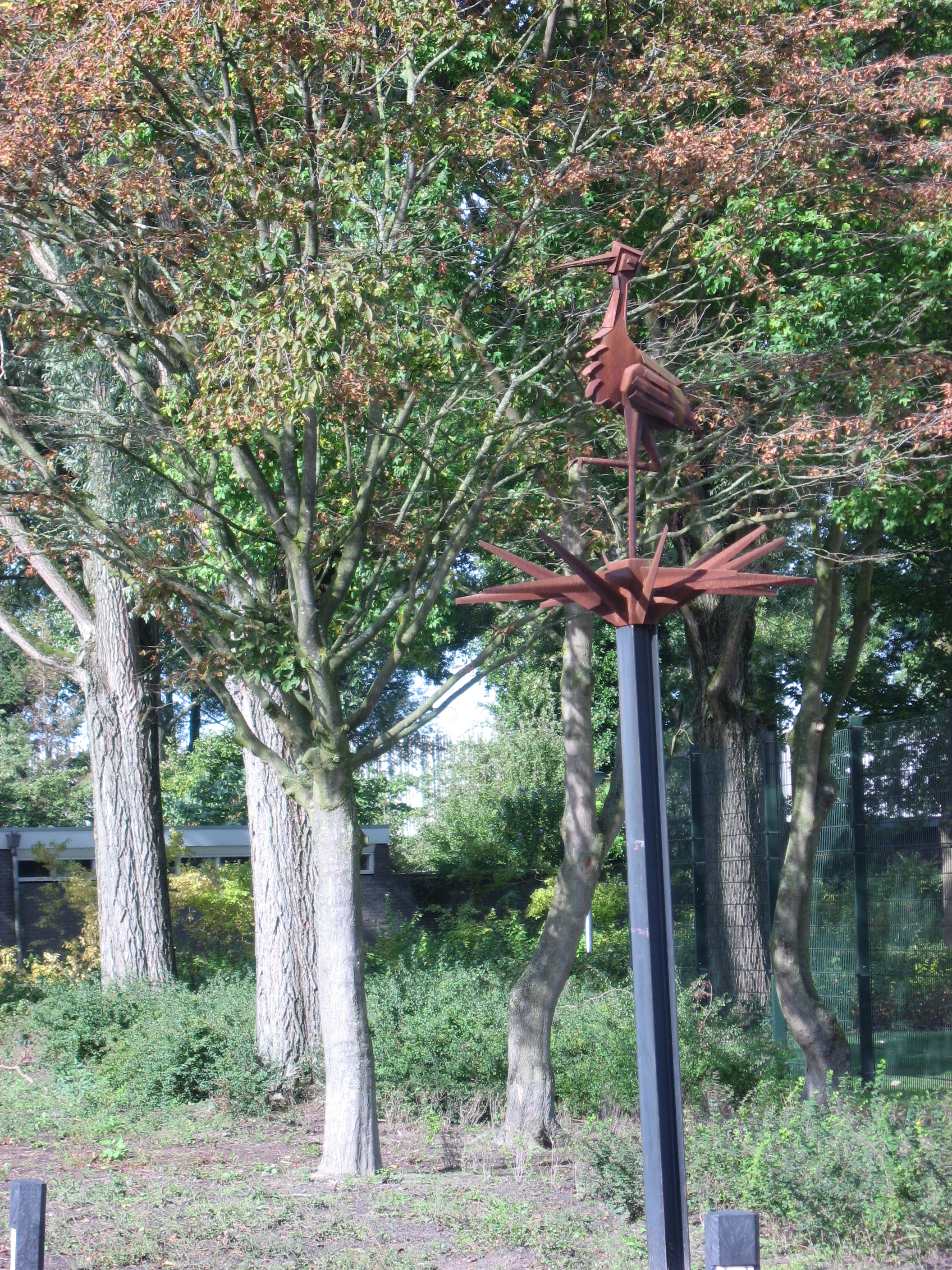
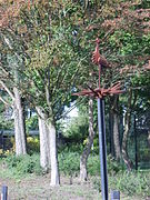 The sculpture de Ooievaar, an anniversary gift from the neighborhood association to the neighborhood in 1995
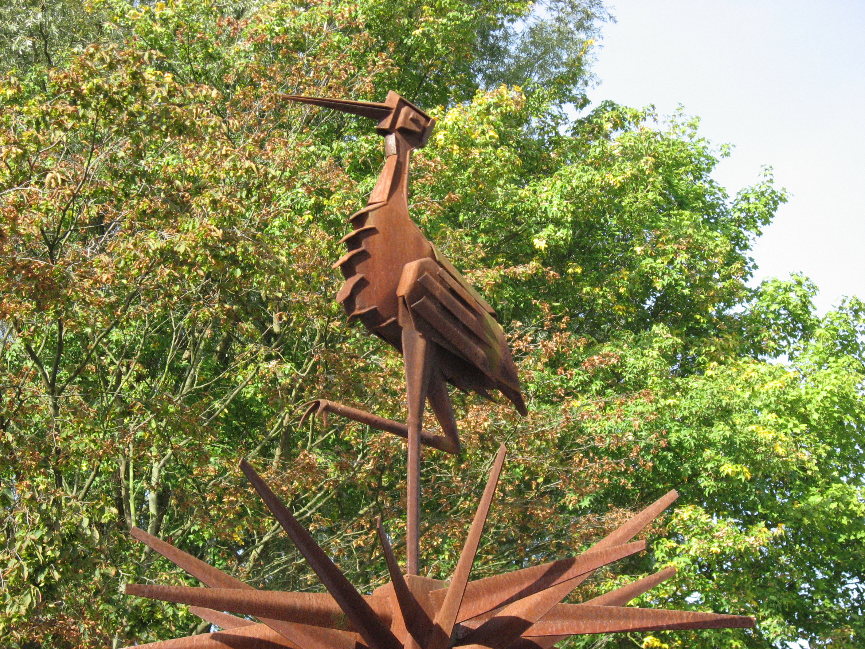
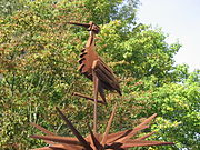 Closeup of de Ooievaar
References
- Wijk Oud Kasteel, eindhoven.nl
- Eindhoven Buurtmonitor, statistical data from the Eindhoven municipality
Categories:


Wikimedia Foundation. 2010.