- Omala, Nigeria
-
Omala — LGA — Location in Nigeria
 Omala
OmalaCoordinates: 7°49′N 7°31′E / 7.817°N 7.517°ECoordinates: 7°49′N 7°31′E / 7.817°N 7.517°E Country  Nigeria
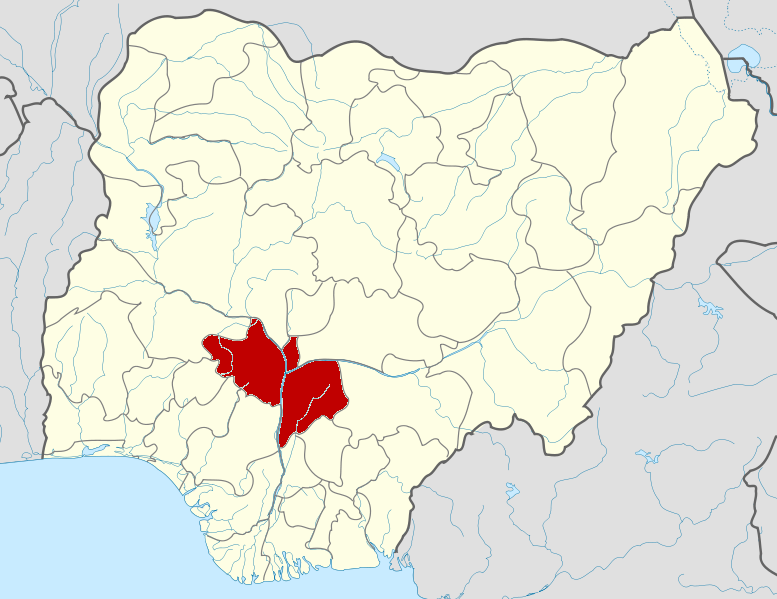
State Kogi State Area – Total 1,667 km2 (643.6 sq mi) Population (2006 census) – Total 108,402 Time zone WAT (UTC+1) 3-digit postal code prefix 270 ISO 3166 code NG.KO.OM Omala is a Local Government Area in Kogi State, Nigeria bounded in the north by the Benue River. Its headquarters are in the town of Abejukolo (or Abajikolo) in the north of the area at7°43′N 7°33′E / 7.717°N 7.55°E.
The northeasterly line of equal latitude and longitude passes through the southeast of the LGA.
It has an area of 1,667 km² and a population of 108,402 at the 2006 census.
The postal code of the area is 270.[1]
References
- ^ "Post Offices- with map of LGA". NIPOST. http://www.nipost.gov.ng/PostCode.aspx. Retrieved 2009-10-20.
State capital: LokojaLGAs 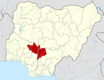 Categories:
- Local Government Areas in Kogi State
- Nigeria geography stubs

Wikimedia Foundation. 2010.