- Netraganj
-
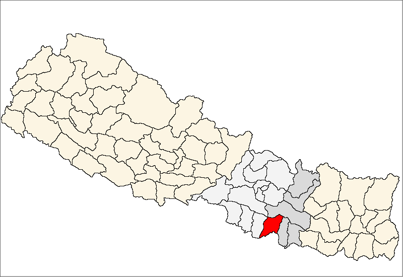
Netraganj — Village development committee — Location in Nepal
 Netraganj
Coordinates: 27°3′30″N 85°35′30″E / 27.05833°N 85.59167°ECoordinates: 27°3′30″N 85°35′30″E / 27.05833°N 85.59167°E Country  Nepal
NepalZone Janakpur Zone District Sarlahi District Population (1991) – Total 6,219 Time zone Nepal Time (UTC+5:45) Netraganj is a village development committee in Sarlahi District in the Janakpur Zone of south-eastern Nepal. At the time of the 1991 Nepal census it had a population of 6219 people living in 1147 individual households.[1]
References
- ^ "Nepal Census 2001". Nepal's Village Development Committees (Digital Himalaya). http://www.digitalhimalaya.com/collections/nepalcensus/form.php?selection=1. Retrieved 2 November 2008.
External links
Achalgadh, Arnaha, Atrouli, Aurahi, Babarganj, Bagdaha, Bahadurpur, Balara, Bara Udhoran, Barahathawa, Basantapur, Batraul, Bela, Belhi, Belwajabdi, Bhadsar, Bhagawatipur, Bhaktipur, Bhawanipur, Brahmapuri, Chandra Nagar, Chhataul, Chhatona, Dhana Palbhawari, Dhanakaul Purba, Dhangada, Dhaurkauli, Dhungrekhola, Dumariya, Farahadawa, Fulparasi, Gadahiyabairi, Gamhariya, Godeta, Gourishankar, Hajariya, Harakthawa, Haripur, Haripurwa, Hariyon, Hathiyol, Hempur, Ishworpur, Jabdi, Jamuniya, Janaki Nagar, Jingadawa, Kabilasi, Kalinjor, Karmaihiya, Khairwa, Khoriya, Khutauna, Kisanpur, Kodena, Lalbandi, Laukat, Laxmipur Kodraha, Laxmipur Su., Madhubangoth, Madhubani, Mahinathpur, Mailhi, Manpur, Masaili, Mirjapur, Mohanpur, Motipur, Murtiya, Musauli, Narayan Khola, Narayanpur, Netraganj, Noukailawa, Parsa, Parwanipur, Pattharkot, Pidari, Pidariya, Pipariya, Rajghat, Ramnagar Bahaur, Ranban, Raniganj,
Rohuwa, Sakraula, Salempur, Sangrampur, Sankarpur, Sasapur, Shahorwa, Shreepur, Sikhauna, Simara, Sisotiya, Sisout, Snakarpur, Sohadawa, Sudama, Sundarpur, Sundarpur Choharwa, Tribhuwan Nagar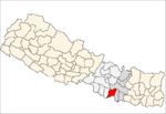 Categories:
- Populated places in Sarlahi District
- Janakpur Zone geography stubs

Wikimedia Foundation. 2010.