- Munuwa
-
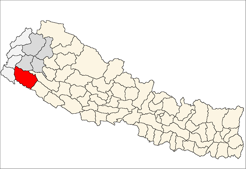
Munuwa — Village development committee — Location in Nepal
 Munuwa
Coordinates: 28°32′N 81°05′E / 28.54°N 81.08°ECoordinates: 28°32′N 81°05′E / 28.54°N 81.08°E Country  Nepal
NepalZone Seti Zone District Kailali District Population (1991) – Total 9,276 Time zone Nepal Time (UTC+5:45) Munuwa is a village development committee in Kailali District in the Seti Zone of western Nepal. At the time of the 1991 Nepal census it had a population of 9276 living in 1173 individual households.[1]
References
- ^ "Nepal Census 2001", Nepal's Village Development Committees (Digital Himalaya), http://www.digitalhimalaya.com/collections/nepalcensus/form.php?selection=1, retrieved 15 November 2009.
External links
Baliya · Basauti · Beladevipur · Bhajani · Boniya · Chauha · Chaumala · Dansinhapur · Darakh · Dododhara · Durgauli · Gadariya · Geta · Godawari · Hasuliya · Janakinagar · Joshipur · Khailad · Khairala · Kota Tulsipur · Lalbojhi · Malakheti · Masuriya · Mohanyal · Munuwa · Narayanpur · Nigali · Pahalmanpur · Pandaun · Pawera · Phulwari · Pratapur · Ramsikhar Jhala · Ratnapur · Sadepani · Sahajpur · Sreepur · Sugarkhal · Thapapur · Tikapur · Udasipur · Urma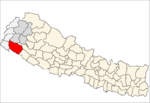 Categories:
- Populated places in Kailali District
- Seti Zone geography stubs

Wikimedia Foundation. 2010.