- Mount Elliot (Antarctica)
-
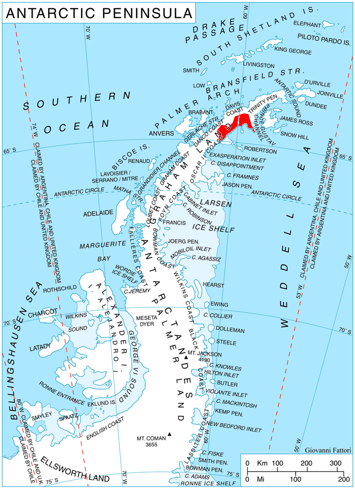
 Location of Nordenskjöld Coast
Mount Elliott (1,265 m) (64°24′S 60°02′W / 64.4°S 60.033°W) is a conspicuous mountain, with a few small rock exposures and ice-free cliffs on the southeast side, standing 18 miles (29 km) northwest of Cape Sobral and 8 miles (13 km) northeast of Rice Bastion, on Nordenskjöld Coast in Graham Land, Antarctica. It was charted in 1947 by the Falkland Islands Dependencies Survey (FIDS) and named for F. K. Elliott, leader of the FIDS base at Hope Bay in 1947 and 1948.
References
 This article incorporates public domain material from the United States Geological Survey document "Mount Elliot (Antarctica)" (content from the Geographic Names Information System).
This Graham Land location article is a stub. You can help Wikipedia by expanding it.