- Mount Canicula
-
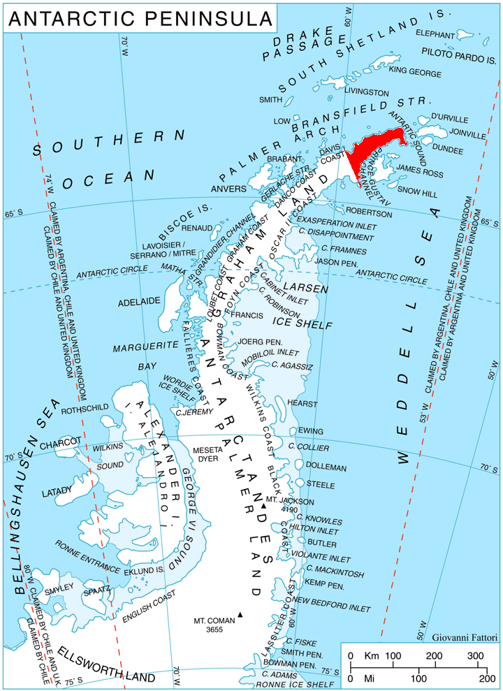
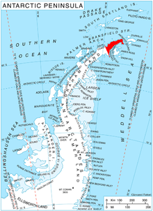 Location of Trinity Peninsula.
Mount Canicula (63°43′S 58°30′W / 63.717°S 58.5°W) is a mountain formed of two rock peaks, 890 and 825 metres (2,920 and 2,710 ft) high. It stands 3 miles (5 km) east of Sirius Knoll on the divide separating Russell East Glacier and Russell West Glacier in central Trinity Peninsula, and is linked to Louis-Philippe Plateau to the north by Verdikal Gap,[1] and to Trakiya Heights to southwest by Srem Gap[2]. It was charted in 1946 by the Falkland Islands Dependencies Survey, and named by them because of the association with Sirius Knoll: Canicula is a synonym of Sirius, the dog star.
Map
- Trinity Peninsula. Scale 1:250000 topographic map. Institut für Angewandte Geodäsie and British Antarctic Survey, 1996.
Notes
- ^ Srem Gap. SCAR Composite Antarctic Gazetteer.
- ^ Verdikal Gap. SCAR Composite Antarctic Gazetteer.
References
- SCAR Composite Antarctic Gazetteer.
 This article incorporates public domain material from the United States Geological Survey document "Canicula, Mount" (content from the Geographic Names Information System).

This Trinity Peninsula, Antarctica, location article is a stub. You can help Wikipedia by expanding it.