- Modau
-
Modau 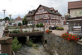
The Modau running through the town of Ober-Ramstadt.Origin 49°43′56.7″N 8°46′12.4″E / 49.732417°N 8.770111°E Mouth 49°48′50″N 8°27′52″E / 49.81389°N 8.46444°E Progression Rhine → North Sea Length 44 km Source elevation 491 m Mouth elevation 84 m Basin area 34.6 km² River system Rhine The Modau is a 44 km long right tributary of the Rhine River running through the German state of Hesse. Historically, there have been many watermills on the river and its tributaries, giving rise to the name Mühltal ("Mill Valley"), a district through which the river flows.
Left (western) Alpine Rhine: Vorderrhein · High Rhine: Thur · Töss · Glatt · Aare · Sissle · Ergolz · Birs · Birsig · Upper Rhine: Ill · Moder · Sauer · Lauter · Spiegelbach · Queich · Speyerbach · Rehbach · Isenach · Eckbach · Eisbach · Pfrimm · Selz · Middle Rhine: Nahe · Moselle · Nette · Brohlbach · Ahr · Lower Rhine: Erft
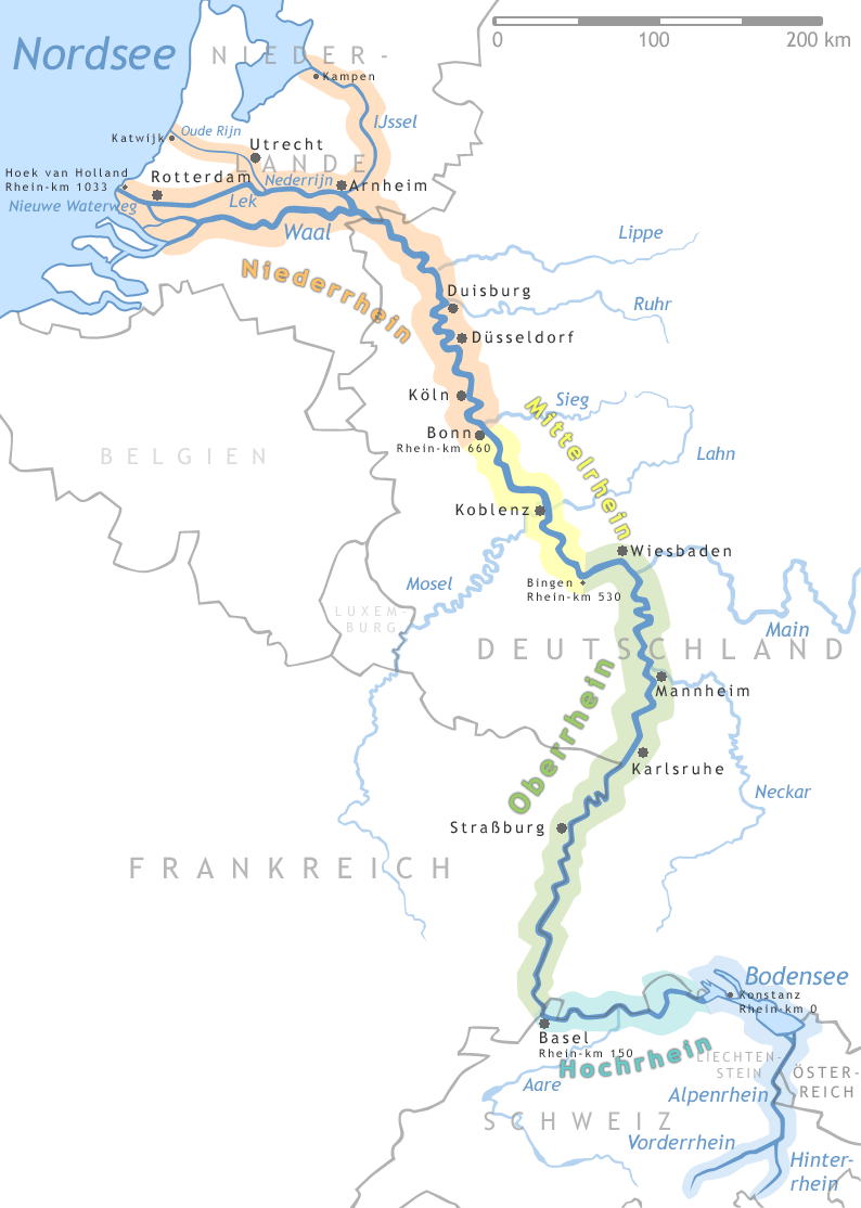
Right (eastern) Alpine Rhine: Rein da Tuma · Rein da Curnera · Rein da Medel · Glenner · Rabiusa · Hinterrhein · Plessur · Landquart · Ill · Frutz · Lake Constance: Dornbirner Ach · Bregenzer Ach · Leiblach · Argen · Schussen · Rotach · Linzer Aach · Stockacher Aach · Radolfzeller Aach · High Rhine: Biber · Wutach · Alb · Alb · Wehra · Upper Rhine: Wiese · Elz · Kinzig · Rench · Acher · Murg · Alb · Pfinz · Saalbach · Kraichbach · Leimbach · Neckar · Weschnitz · Modau · Main · Middle Rhine: Wisper · Lahn · Wied · Lower Rhine: Sieg · Wupper · Düssel · Ruhr · Emscher · Lippe · IJssel: Oude IJssel/Issel · Berkel · SchipbeekCategories:- Rivers of Hesse
- Germany geography stubs

Wikimedia Foundation. 2010.