- Mauwahi
-
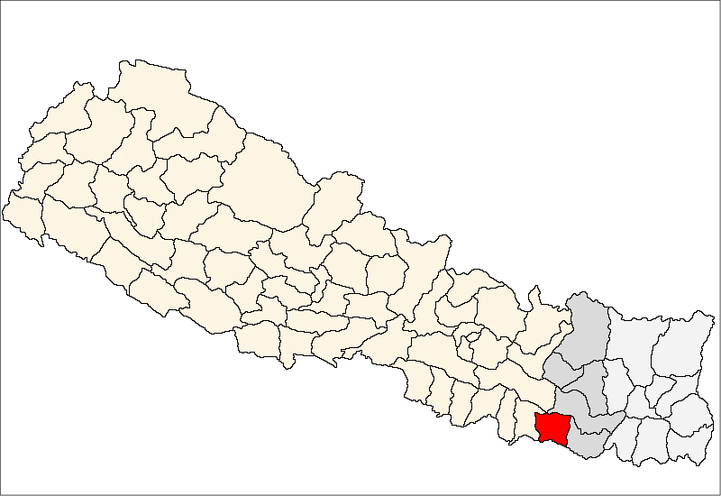
Mauwahi — Village development committee — Location in Nepal
 Mauwahi
Coordinates: 26°38′N 86°26′E / 26.64°N 86.43°ECoordinates: 26°38′N 86°26′E / 26.64°N 86.43°E Country  Nepal
NepalZone Sagarmatha Zone District Siraha District Population (1991) - Total 2,695 Time zone Nepal Time (UTC+5:45) Mauwahi is a village development committee in Siraha District in the Sagarmatha Zone of south-eastern Nepal. At the time of the 1991 Nepal census it had a population of 2695 people living in 460 individual households.[1]
References
- ^ "Nepal Census 2001". Nepal's Village Development Committees. Digital Himalaya. http://www.digitalhimalaya.com/collections/nepalcensus/form.php?selection=1. Retrieved 17 November 2008.
External links
Arnama Lalpur, Arnama Rampur, Asanpur, Ashokpur Balkawa, Aurahi, Ayodhyanagar, Badharamal, Barchhawa, Bariyarpatti, Basbita, Bastipur, Belaha, Belhi, Betauna, Bhadaiya, Bhagawanpur, Bhagawatipur, Bhawanipur, Bhawanpur Kalabanzar, Bhokraha, Bishnupur Pra. Ma., Bishnupur Pra. Ra., Bishnupurkahi,
Brahmagaughadi, Chandra Ayodhyapur, Chandralalpur, Chandrodayapur, Chatari, Chikana, Devipur, Dhangadi, Dhodhana, Dumari, Durgapur, Fulbariya, Fulkaha Kahi, Gadha, Gauripur, Gautari, Govindapur Malahanama, Govindpur Taregana, Hakpara, Hanuman Nagar, Harakathi, Inarwa, Itarhawa, Itari Parsahi, Itatar, Jamadaha, Janakinagar, Jighaul, Kabilasi, Kachanari, Kalyanpur Jabadi, Kalyanpurkalabanzar, Karjanha, Kharukyanhi, Khirauna, Krishnapur Birta, Kushahalaxininiya, Lagadi Gadiyani, Lagadigoth, Lahan, Lalpur, Laxminiya, Laxmipur (Pra. Ma.), Laxmipur Patari, Madar, Mahadewa Portaha, Mahanaur, Maheshpur Gamharia, Maheshpur Patari, Majhauliya, Majhaura, Makhanaha, Malhaniya Gamharia, Malhaniyakhori, Mauwahi, Media, Mohanpur Kamalpur, Muksar, Nahara Rigoul, Naraha Balkawa, Navarajpur, PadariyaTharutol, Pipra Pra. Dha., Pipra Pra. Pi, Pokharbhinda, Radhopur, Rajpur, Ramnagar Mirchaiya, Rampur Birta, Sakhuwanankarkatti, Sanhaitha, Sarswar, Sikron, Silorba Pachhawari, Sisawani, Sitapur Pra. Da., Sitapur Pra. Ra., Sonmati Majhaura, Sothayan, Sukhachina, Sukhipur, Tenuwapati, Thalaha Kataha, Thegahi, Tulsipur, Vidhyanagar Categories:
- Populated places in Siraha District
- Sagarmatha Zone geography stubs

Wikimedia Foundation. 2010.