- Matsoku
-
Matsoku — Community Council — Geographic Center of Community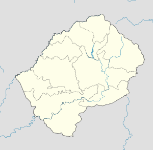
 Matsoku
Coordinates: 29°10′12″S 28°39′25″E / 29.17°S 28.65694°E Country  Lesotho
District Mokhotlong District Elevation[1] 7,949 ft (2,423 m) Population (2006) – Total 4,715 Time zone CAT (UTC+2) Coordinates computed from Lesotho Villages file.[2] Matsoku is a community council located in the Mokhotlong District of Lesotho. Its population in 2006 was 4,715.[3]
Villages
The community of Matsoku includes the villages of Ha Hlolo, Ha Khosi, Ha Leohla, Ha Mafonyoko, Ha Makhabane, Ha Manyakane, Ha Meno, Ha Mokoto, Ha Molapo (Thepung), Ha Mosisi, Ha Nthele, Ha Phepheng, Ha Rachele, Ha Ralithebe, Ha Senkhane, Ha Thelelisane, Ha Tšekelo, K'hangela, Khubetsoana, Kutukutu, Likhutlong, Linotšing, Liramong, Litenteng, Maboea, Mahonyeling, Makhapung, Makhoana, Masiteng, Matsatsaneng, Mongobong, Mosifaneng, Ntširele, Pitseng, Postola, Sekhutlong, Sekokoaneng and Thaba-Chitja.[4]
References
- ^ GTOPO30 via GeoNames. Retrieved 2010-10-12.
- ^ Google Earth Download Site Retrieved 2010-07-21.
- ^ Statoids.com
- ^ Lesotho Bureau of Statistics, Village List 2006.
External Links
Categories:- Populated places in Lesotho
- Mokhotlong District
- Lesotho geography stubs

Wikimedia Foundation. 2010.