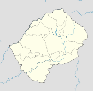
- Marung
-
Marung — Community Council — Geographic Center of Community Coordinates: 29°26′23″S 28°52′33″E / 29.43972°S 28.87583°E Country  Lesotho
District Mokhotlong District Elevation[1] 8,005 ft (2,440 m) Population (2006) - Total 5,458 Time zone CAT (UTC+2) Coordinates computed from Lesotho Villages file.[2] Marung is a community council located in the Mokhotlong District of Lesotho. Its population in 2006 was 5,458.[3]
Villages
The community of Marung includes the villages of Bobatsi, Botha-Bothe, Ha Khorole, Ha Liete, Ha Makaka, Ha Mathibela, Ha Moeketsane, Ha Mohai, Ha Mokoena, Ha Mokotjo, Ha Moleko, Ha Ntsika, Ha Ralitlhare, Ha Roelane, Ha Setoko, Ha Sibi, Ha Taelo, Ha Tšoeu, Khoaba-lea-oela, Koma-Koma, Lifatjaneng, Lifofaneng, Lihareseng, Lilatoleng, Mafikeng, Mafisoaneng, Makorotong, Mamothapeng, Mapokising, Meeling, Moeaneng, Motse-mocha, Phahameng, Taung and Tsekong.[4]
References
- ^ GTOPO30 via GeoNames. Retrieved 2010-10-10.
- ^ Google Earth Download Site Retrieved 2010-07-21.
- ^ Statoids.com
- ^ Lesotho Bureau of Statistics, Village List 2006.
External Links
Categories:- Populated places in Lesotho
- Mokhotlong District
- Lesotho geography stubs
Wikimedia Foundation. 2010.

