- Marulan Parish
-
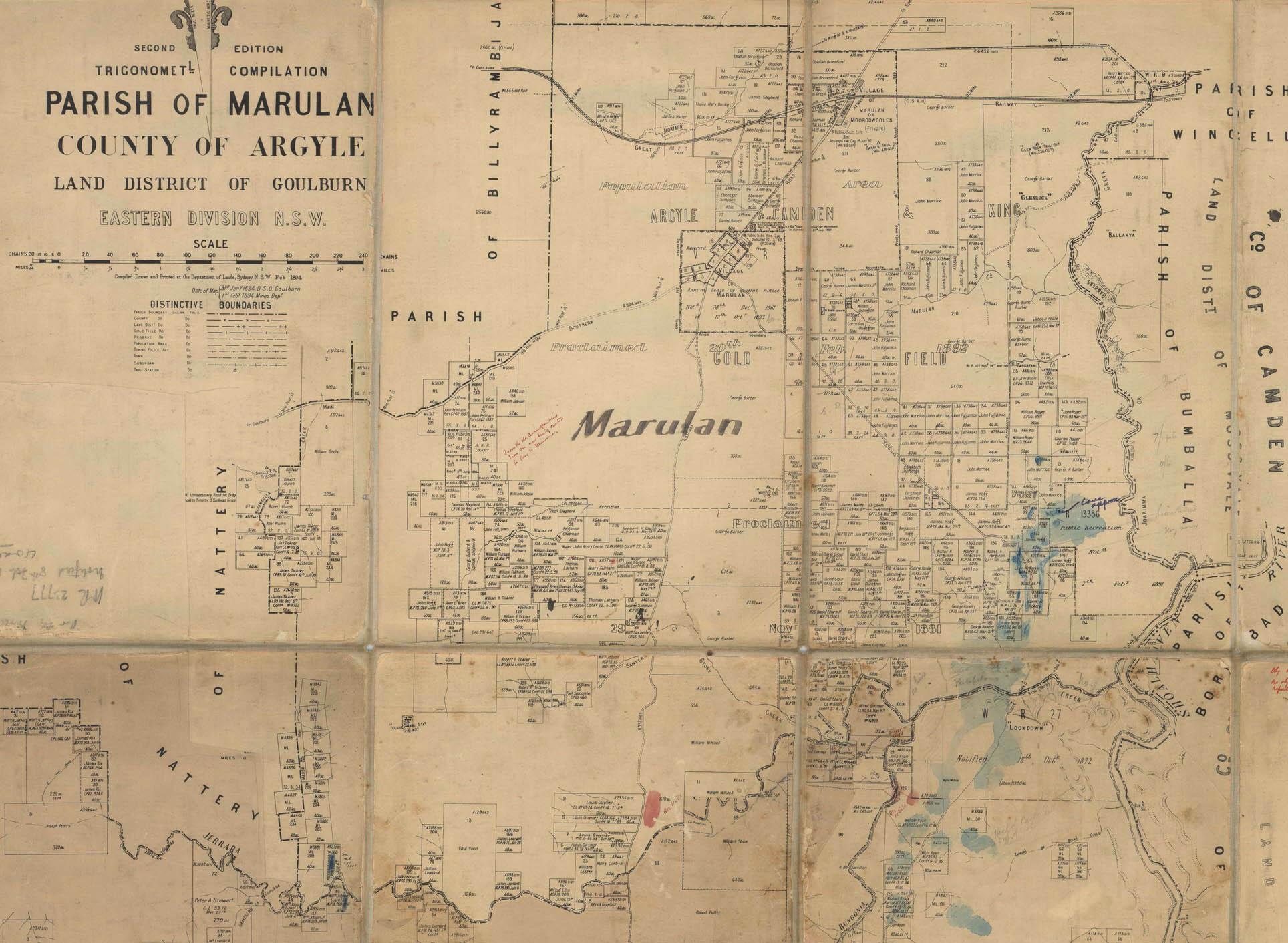
Marulan Parish
New South Wales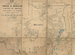
1894 map of the parishCounty: Argyle Land District: Goulburn Division: Eastern LGA: Goulburn Mulwaree Lands administrative divisions around Marulan Parish Billyrambija Uringalla Wingello (Camden) Nattery Marulan Parish Bumballa (Camden) Jerrara Inverary Borimbadal (Camden) The Parish of Marulan is a parish of Argyle County based around the town of Marulan, and also including Marulan South. The parish is bounded by Barbers Creek to the east, a small part of the Shoalhaven River to the south-east, and Jerrara Creek to the south. The Hume Highway and the Southern Highlands railway line run through the parish. Jerrara Road and Marulan South Road are other main roads in the area.
References
- NSW Department of Primary Industries, Parish maps with added geological information
- Plan of 61 farms measured for sale in the Parishes of Marulan and Uringalla near the village of Marulan, County of Argyle, New South Wales 1857, National Library of Australia
- Geographic Names Board of New South Wales
- New South Wales Parish maps preservation project
- Argyle County, Marulan
- The Villages of Mulwaree Shire, the village of old Marulan
Categories:- Parishes of Argyle County
Wikimedia Foundation. 2010.