- Marigat
-
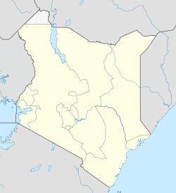
Marigat Location of Marigat Coordinates: 0°28′N 35°59′E / 0.47°N 35.98°ECoordinates: 0°28′N 35°59′E / 0.47°N 35.98°E Country Kenya Province Rift Valley Province Time zone EAT (UTC+3) Marigat is a settlement in Kenya's Rift Valley Province.
Marigat is a fast growing town located in the lowlands of Baringo district. Its growth is supported by the Perkerra irrigation scheme where onions, pepper, papaws and maize, among other crops, are grown. Marigat town is about 20 km from both the famous L. Baringo and L. Bogoria; this exposes the town to new ideology through interaction between visitors and the locals. Marketing of local products such as honey (kumyante), goat's meat (beny), and cultural artifacts is made effective by the surging local and foreign tourists and travellers. Tourists go for art such as braided callabush, the ilchamus club, ilchamus sheets and the tugen bow and arrows. Passengers buy onions, tomatoes, honey, water, melon, bananas, oranges from the Parkerra irrigation scheme as they wait for the bus at the Matatu stage to surprise their families.
Marigat is inhabited by the Tugen (Samor) mainly from the upper regions, i.e. south, southeast and southwest, the Njemps (Ilchamus) mainly from the low regions northwards and at the western Pokot communities who are mainly pastoralists.
References
the term 'marigat' is a corruption of the ilchamus word 'ilmarin lo lgat' which can be loosely traslated to mean, 'the edges of the narrow path.' originally, marigat used to be dominated by the ilchamus people who were systematically removed by the successive political powers that have ruled this region for decades. however, marigat is now turning to be a Cosmo-politant and now it is inhabited by many communities. however, the dominats are Ilchamus and Tugen.
Categories:- Populated places in Rift Valley Province
Wikimedia Foundation. 2010.

