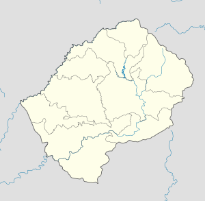
- Monyake
-
Monyake — Community Council — Geographic Center of Community Coordinates: 29°45′45″S 27°36′50″E / 29.7625°S 27.61389°E Country  Lesotho
District Mafeteng District Elevation[1] 6,955 ft (2,120 m) Population (2006) – Total 12,234 Time zone CAT (UTC+2) Coordinates computed from Lesotho Villages file.[2] Monyake is a community council located in the Mafeteng District of Lesotho. Its population in 2006 was 12,234.[3]
Villages
The community of Monyake includes the villages of Botšoela, Fuleng, Ha Faba, Ha Josia, Ha Khomo-ea-Monyatsi, Ha Khotela, Ha Khunoana, Ha Kubutu, Ha Leata, Ha Lentsoe, Ha Lethula, Ha Machakela, Ha Makhakhe, Ha Malefetsane, Ha Malefo, Ha Manosa, Ha Mapesela, Ha Matjeka, Ha Mohlakala, Ha Mohloai, Ha Mokete, Ha Mokhethi, Ha Monyake, Ha Moqulo, Ha Mosala, Ha Motaba, Ha Motjatji, Ha Mpalipali, Ha Mphatsi, Ha Nkeo, Ha Nthonyana, Ha Ntsibane, Ha Phafoli, Ha Ralebona, Ha Ramahaetsane, Ha Ramochele, Ha Ramoshabe, Ha Raphosholi, Ha Ratšiu, Ha Sehlabo, Ha Sehloho, Ha Sekake, Ha Sekhobe, Ha Sepitla, Ha Setimela, Ha Shea, Ha Shekeshe, Ha Soko, Ha Thabo, Ha Tjale, Ha Tlebete, Khomojong, Koti-Sekhutšoane, Koung, Letaeng, Likhotoleng, Liseleng, Maliepetsane, Mangaung, Methinyeng, Moeaneng, Pontšeng, Sekokoaneng, Selonyane, Thabang, Tsukutsoana and Tšupane.[4]
References
- ^ GTOPO30 via GeoNames. Retrieved 2011-01-05.
- ^ Google Earth Download Site Retrieved 2010-07-21.
- ^ Statoids.com
- ^ Lesotho Bureau of Statistics, Village List 2006.
External Links
Categories:- Populated places in Lesotho
- Mafeteng District
- Lesotho geography stubs
Wikimedia Foundation. 2010.

