- Manly, New Zealand
-
Manly Basic information Local authority Auckland Population 6,123 (2006) Facilities Surrounds North (Waiau Bay) Northeast Tindalls Beach East (Matakatia Bay) South (Hauraki Gulf) Southwest Wade Heads Northwest Stanmore Bay 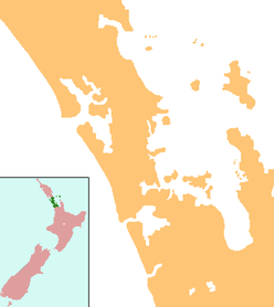
 Manly
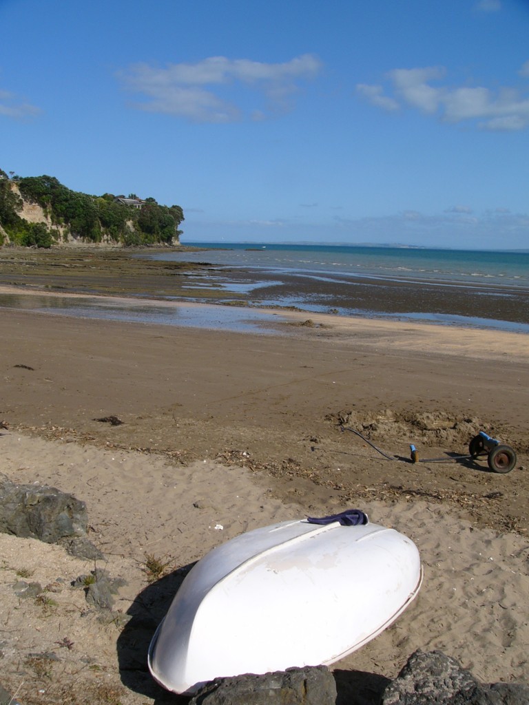
Manly Big Manly beach
Manly is a suburb on the Whangaparaoa Peninsula, towards the northern end of Auckland, New Zealand.[1] Manly Village is an established shopping centre,[2] with the residential areas of Big Manly to the north and Little Manly to the south. The area was once a seaside holiday location, but has become residential suburbs within commuting distance of central Auckland city. A significant proportion of the population is retired.[3]
The population was 6,123 in the 2006 Census, an increase of 411 from 2001.[4]
Education
Whangaparaoa School is a coeducational contributing primary (years 1-6) school with a decile rating of 9 and a roll of 730.[5] The school celebrated its centenary in 2002.[6]
Notes
- ^ Roger Smith, GeographX (2005). The Geographic Atlas of New Zealand. Robbie Burton. pp. map 35. ISBN 1-877333-20-4.
- ^ "Manly Village". http://www.whangaparaoanz.com/html/manly_village_.html. Retrieved 2008-10-17.
- ^ "Description of the School's Community". Whangaparaoa School. http://www.wgp.school.nz/Story?Action=View&Story_id=1059. Retrieved 2008-10-17.[dead link]
- ^ Quickstats about Manly
- ^ "Te Kete Ipurangi - Whangaparaoa School, Auckland". Ministry of Education. http://www.tki.org.nz/e/schools/display_school_info.php?school_id=1571.
- ^ "Jubilees & reunions - Whangaparaoa School". Education Gazette New Zealand 81 (4). 11 March 2002. http://www.edgazette.govt.nz/notices.php?action=view&id=58142. Retrieved 2008-10-17.[dead link]
External links
Coordinates: 36°37′57″S 174°45′43″E / 36.632630°S 174.761880°E
Categories:- Rodney District
- Populated places in New Zealand
- Beaches in Auckland
- Auckland Region geography stubs

Wikimedia Foundation. 2010.