Mangri

Mangri
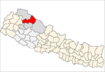
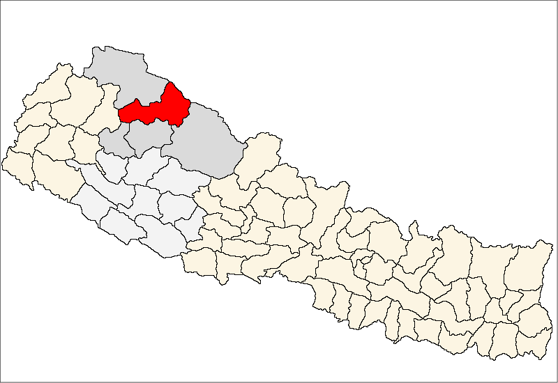
Mangri
—  Village development committee  —
Mangri is located in Nepal
Mangri
Location in Nepal
Coordinates: 29°37′30″N 82°19′0″E / 29.625°N 82.316667°E / 29.625; 82.316667Coordinates: 29°37′30″N 82°19′0″E / 29.625°N 82.316667°E / 29.625; 82.316667
Country  Nepal
Zone Karnali Zone
District Mugu District
Population (1991)
 - Total 898
Time zone Nepal Time (UTC+5:45)

Mangri is a village development committee in Mugu District in the Karnali Zone of north-western Nepal. At the time of the 1991 Nepal census it had a population of 898 people living in 181 individual households.[1]

References

  1. ^ "Nepal Census 2001". Nepal's Village Development Committees. Digital Himalaya. http://www.digitalhimalaya.com/collections/nepalcensus/form.php?selection=1. Retrieved 4 November 2008. 

External links


Wikimedia Foundation. 2010.

Игры ⚽ Нужно сделать НИР?

Look at other dictionaries:

  • mager — mangri …   Woordenlijst Sranan

  • vermageren — mangri …   Woordenlijst Sranan

  • Mugu District — Mugu मुगु   District   Rara Lake …   Wikipedia

  • Kala Dhaka — historically known as the Black Mountain of Hazara is a mountain range and a tribal area of Mansehra District on the north western Hazara border of the North West Frontier Province of Pakistan.TopographyIt lies between 34º32 and 34º50 N. and… …   Wikipedia

  • Estadio José Mangriñán — Saltar a navegación, búsqueda Estadio José Mangriñán Nombre completo Estadio Municipal de Deportes José Mangriñán Nombres anteriores Estadio Industrial Segarra Localización Vall de Uxó (Castelló …   Wikipedia Español

  • Dhainakot —   Village development committee   …   Wikipedia

  • Dolphu —   Village development committee   …   Wikipedia

  • Mihi —   Village development committee   Country  Nepal Zone Karnali …   Wikipedia

  • Mugu, Nepal — Mugu   Village development committee   …   Wikipedia

  • Natharpu —   Village development committee   …   Wikipedia

Share the article and excerpts

Direct link
Do a right-click on the link above
and select “Copy Link”