- Mangalpur, Nepal
-
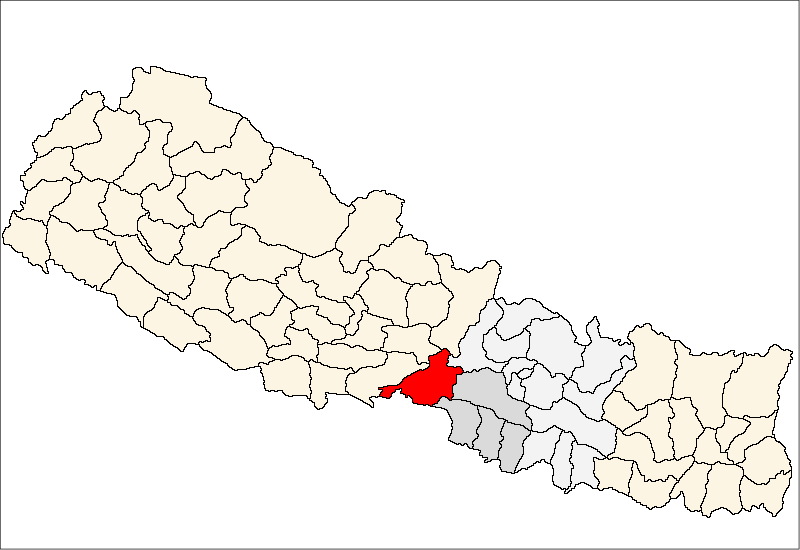
Mangalpur — Village Development Committee — Location in Nepal
 Mangalpur
Coordinates: 27°40′N 84°21′E / 27.67°N 84.35°ECoordinates: 27°40′N 84°21′E / 27.67°N 84.35°E Country  Nepal
NepalZone Narayani Zone District Chitwan District Population (1991) – Total 12,969 Time zone Nepal Time (UTC+5:45) Mangalpur is a Village Development Committee in Chitwan District in the Narayani Zone of southern Nepal. At the time of the 1991 Nepal census it had a population of 12,969 people residing in 2580 individual households.[1]
References
- ^ "Nepal Census 2001". Nepal's Village Development Committees. Digital Himalaya. http://www.digitalhimalaya.com/collections/nepalcensus/form.php?selection=1. Retrieved December 14, 2008.
VDCs Ayodhyapuri, Bachhayauli, Bagauda, Bhandara, Birendra Nagar, Chainpur, Chandi Bhanjyang, Dahakhani, Darechok, Dibyanagar, Fulbari, Gardi, Gitanagar, Gunjanagar, Jagatpur, Jutpani, Kabilas, Kathar, Kaule, Khairhani, Korak, Kumroj, Lothar, Madi Kalyanpur, Mangalpur, Meghauli, Narayanpur, Padampur, Pancha Kanya, Parbatipur, Patihani, Piple, Pithuwa, Ratnanagar, Saradanagar, Shaktikhor, Sibanagar, Siddi, Sukranagar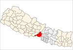
Villages Categories:- Populated places in Chitwan District
- Narayani Zone geography stubs

Wikimedia Foundation. 2010.