- Mahamba (Swaziland)
-
Mahamba is a town in the Shiselweni district of southern Swaziland.
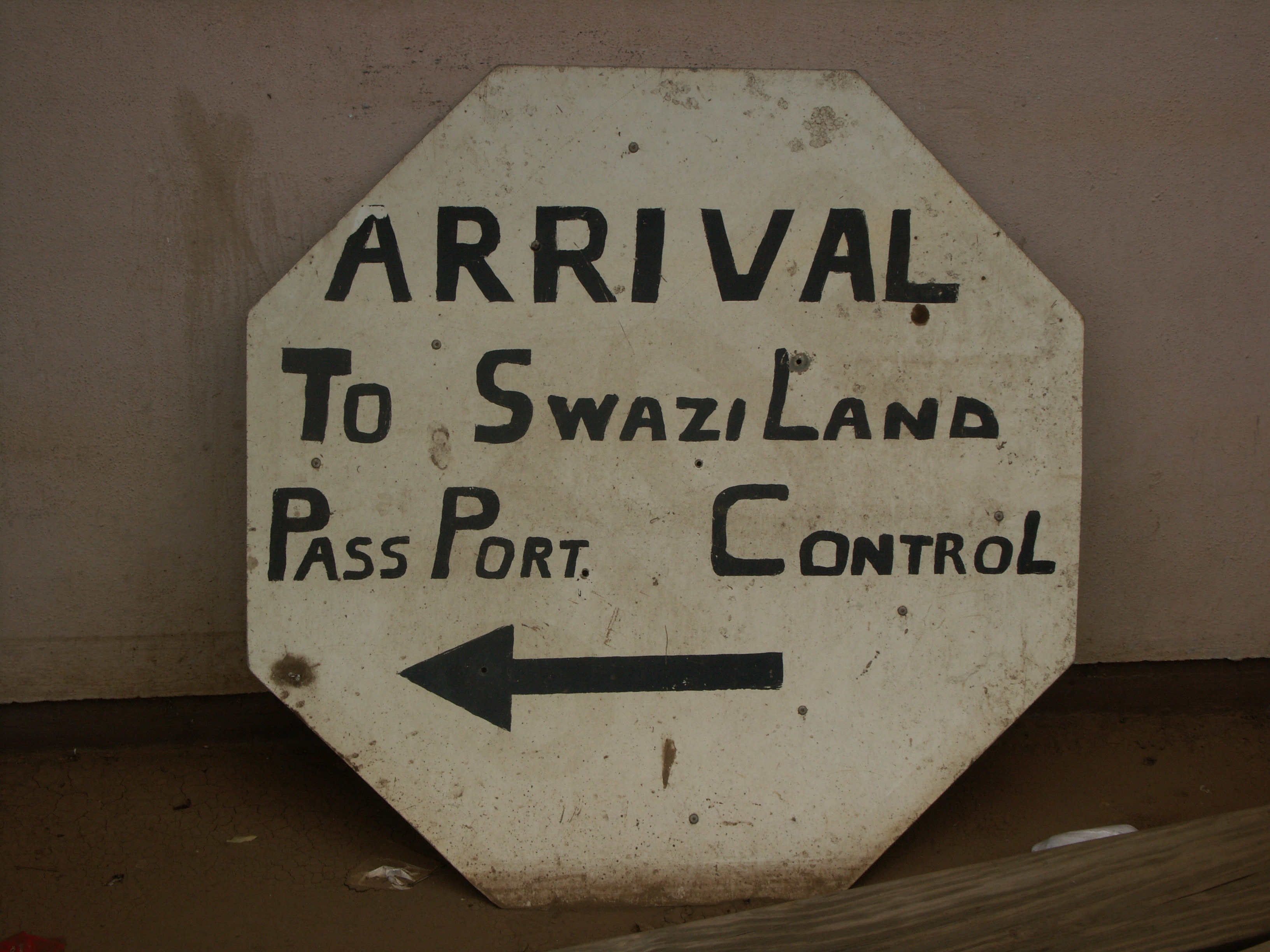
It has a border crossing point towards Piet Retief in South Africa.[1] It is on the MR9 road.
An early Wesleyan mission station was established here in 1844.[2] Robert Grendon moved here, probably before 1906, and his religious heterodoxy may have fuelled local religious strife.[3]
There was a skirmish here in 1846 between Ohrigstad Boers and Swazi forces under Mswati.[4]
Coordinates: 27°06′S 31°05′E / 27.1°S 31.083°E
References
- ^ "EEASA 2008 Conference, Swaziland - General Information". http://www.environment.gov.sz/eeasa/information.asp. Retrieved 2010-10-19.
- ^ Fahlbusch, Erwin (2008). The encyclopedia of Christianity. Wm. B. Eerdmans Publishing. pp. 241. ISBN 9780802824172.
- ^ Limb, Peter (2010). Grappling with the Beast: Indigenous Southern African Responses to Colonialism, 1840-1930. pp. 306. ISBN 9789004178779.
- ^ Bonner, Philip (2002). Kings, Commoners and Concessionaires: The Evolution and Dissolution of the Nineteenth-Century Swazi State. Cambridge University Press. pp. 56. ISBN 9780521523004.
 Transport in Swaziland
Main Roads MR1 · MR2 · MR3 · MR4 · MR5 · MR6 · MR7 · MR8 · MR9 · MR11 · MR13 · MR14 · MR18 · MR19 · MR21 · MR24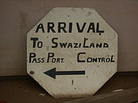
Rail Air Matsapha Airport · Sikhuphe International Airport · List of airports in Swaziland · Royal Swazi National Airways · Aero Africa · Swaziland Airlink · Swazi Express AirwaysBorder posts List of Swaziland-related articles Categories:- Populated places in Swaziland
- South Africa–Swaziland border crossings
- Swaziland geography stubs
Wikimedia Foundation. 2010.