- Mafa
-
- For the settlement in North Maluku, Indonesia see Mafa, Indonesia
- For the Black holocaust, see Maafa
Mafa — LGA and town — 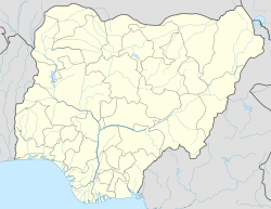
 Mafa
MafaCoordinates: 11°55′33″N 13°36′20″E / 11.92583°N 13.60556°ECoordinates: 11°55′33″N 13°36′20″E / 11.92583°N 13.60556°E Country  Nigeria
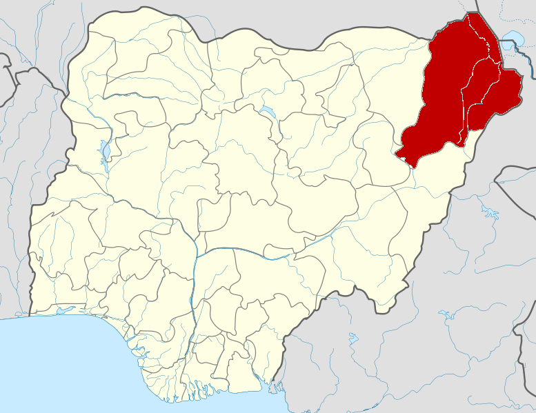
State Borno State Time zone WAT (UTC+1) Mafa is a Local Government Area of Borno State, Nigeria. Its headquarters are in the town of Mafa.
It has an area of 2,869 km² and a population of 103,518 at the 2006 census.
The postal code of the area is 611.[1]
References
- ^ "Post Offices- with map of LGA". NIPOST. http://www.nipost.gov.ng/PostCode.aspx. Retrieved 2009-10-20.
{
 Borno State
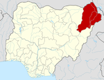 Categories:
- Local Government Areas in Borno State
- Populated places in Borno State
- Nigeria geography stubs

Wikimedia Foundation. 2010.