- Dray Sáp
-
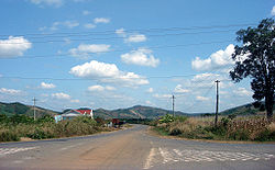
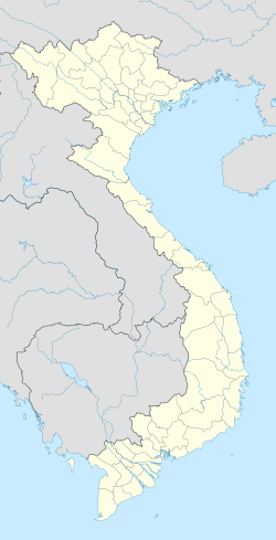
Dray Sáp — Commune — A highland village in the commune of Dray Sáp. Coordinates: 12°7′16″N 108°32′38″E / 12.12111°N 108.54389°ECoordinates: 12°7′16″N 108°32′38″E / 12.12111°N 108.54389°E Country  Vietnam
Region Central Highlands Province Đắk Lắk Province District Krông Ana District Time zone UTC + 7 (UTC+7) Dray Sáp is a commune (xã) in Krông Ana District, Dak Lak Province, Vietnam.
Economy
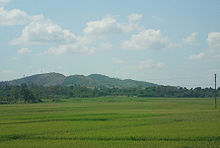
An agricultural commune, it produces rice, coffee and pepper. The Buon Kuop hydropower plant in the commune has a capacity of 280MW. There are two waterfalls that flow through the commune, including the Gia Long and Dray Sap waterfalls which attract tourists.[1]
References
- ^ "Dray Sap and Gia Long Waterfalls". Frommer's. http://www.frommers.com/destinations/buonmathuot/A34961.html. Retrieved June 19, 2010.
Categories:- Central Highlands geography stubs
- Communes of Dak Lak Province
- Populated places in Dak Lak Province
Wikimedia Foundation. 2010.


