- Drangsnes
-
Drangsnes — Village — Kerling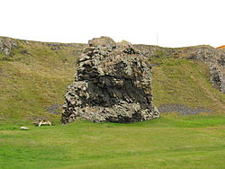 Location of the Municipality of Kaldrananeshreppur
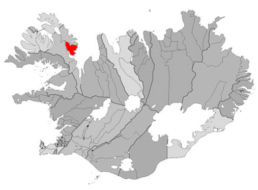
 Location of the Municipality of Kaldrananeshreppur
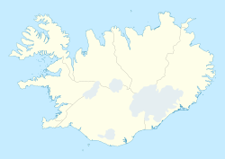
 Drangsnes
Coordinates: 65°41′N 21°27′W / 65.683°N 21.45°W Country  Iceland
Constituency[1]  Norðvesturkjördæmi
Region[2]  Vestfirðir
County  Strandasýsla
Municipality Kaldrananeshreppur Population (January 2011) - Total 67 Time zone GMT (UTC+0) Póstnúmer Website Official website Drangsnes is a small town in the western part of Iceland, at the mouth of Steingrímsfjörður and near Hólmavík.
It is part of the Kaldrananeshreppur municipality and only has 67 inhabitants (2011 census). It got its name from a tall rock named Kerling of what is said that it is one of three troll women who tried to separate the West Fjords from the rest of Iceland.
References
External links
- Official website (Icelandic)
Categories:- Populated places in Iceland
- Iceland geography stubs


Wikimedia Foundation. 2010.