- Dogs Leg Fjord
-
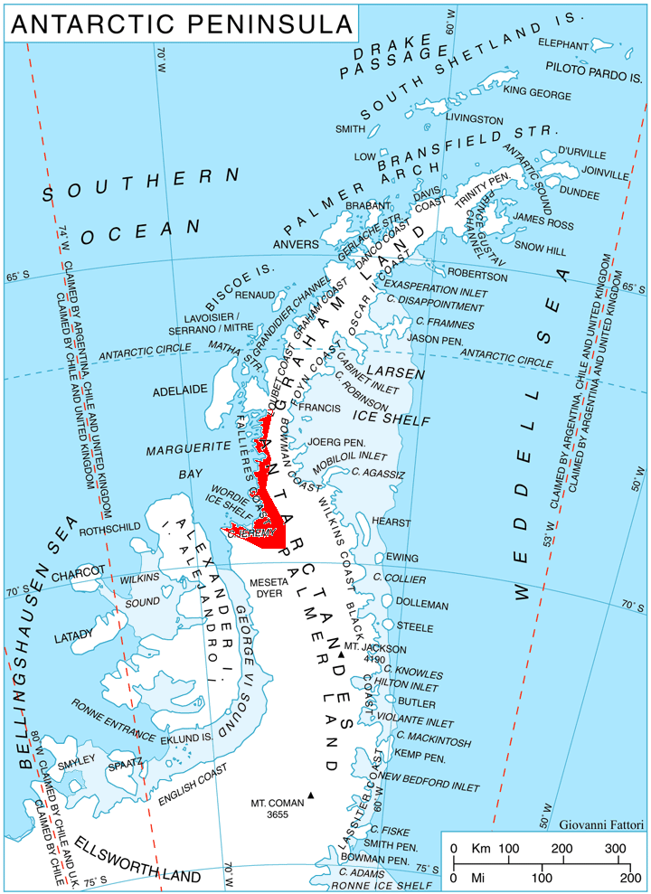
 Location of Fallières Coast.
Dogs Leg Fjord is an inlet 6 nautical miles (11 km) long in an east-west direction and 1.5 nautical miles (2.8 km) wide, lying south of German Peninsula, directly east of Ridge Island and opening on Bourgeois Fjord, along the Fallières Coast on the west side of Graham Land, Antarctica. Discovered by the British Graham Land Expedition (BGLE), 1934–37, under Rymill, and so named because of its shape.
Map
- British Antarctic Territory. Scale 1:200000 topographic map. DOS 610 Series, Sheet W 67 66. Directorate of Overseas Surveys, Tolworth, UK, 1978.
References
 This article incorporates public domain material from the United States Geological Survey document "Dogs Leg Fjord" (content from the Geographic Names Information System).
Coordinates: 67°43′S 66°52′W / 67.717°S 66.867°W

This Fallières Coast location article is a stub. You can help Wikipedia by expanding it.