- Dange Shuni
-
Dange Shuni — LGA and town — 
 Dange Shuni
Coordinates: 12°51′N 5°21′E / 12.85°N 5.35°ECoordinates: 12°51′N 5°21′E / 12.85°N 5.35°E Country  Nigeria
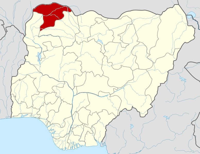
State Sokoto State Area – Total 1,210 km2 (467.2 sq mi) Population (2006) – Total 194,546 Time zone WAT (UTC+1) 3-digit postal code prefix 852 ISO 3166 code NG.SO.DS Dange Shuni is a Local Government Area in Sokoto State, Nigeria. Its headquarters are in the town of Dange.
It has an area of 1,210 km² and a population of 194,546 at the 2006 census.
The postal code of the area is 852.[1]
References
- ^ "Post Offices- with map of LGA". NIPOST. http://www.nipost.gov.ng/PostCode.aspx. Retrieved 2009-10-20.
 Sokoto StateState capital: Sokoto
LGAs 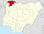 Categories:
- Local Government Areas in Sokoto State
- Nigeria geography stubs

Wikimedia Foundation. 2010.