- Cämmerswalde
-
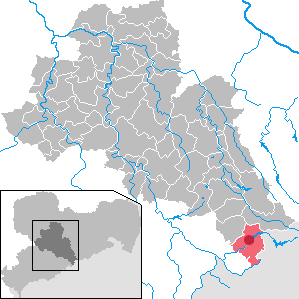
Cämmerswalde Subdivision of Neuhausen/Erzgeb. 
 CämmerswaldeLocation of Cämmerswalde in Mittelsachsen District and the municipality of Neuhausen/Erzgeb.
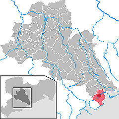
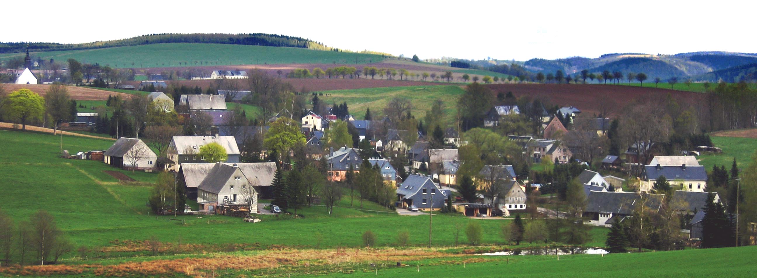
Coordinates 50°42′35″N 13°30′5″E / 50.70972°N 13.50139°ECoordinates: 50°42′35″N 13°30′5″E / 50.70972°N 13.50139°E Administration Country Germany State Saxony District Mittelsachsen Municipality Neuhausen/Erzgeb. Basic statistics Elevation 558 m (1831 ft) Population 673 (31 December 2007) Other information Time zone CET/CEST (UTC+1/+2) Postal code 09544 Area code 037327 The village of Cämmerswalde in the municipality of Neuhausen/Erzgeb. lies in the south of the Saxon district of Mittelsachsen in eastern Germany. The state-recognised spa resort with its 800 year old history, lies near Seiffen in the eastern part of the Western Ore Mountains not far from the Czech border. The village is a classic Waldhufendorf, with a length of over five kilometres. Cämmerswalde is divided into Oberdorf, Mitteldorf and Niederdorf (upper, middle and lower village). Since 1994 Cämmerswalde has belonged to the municipality of Neuhausen/Erzgeb., but used to be an independent parish with the hamlets of Deutschgeorgenthal, Haindorf and, from 1924, Neuwernsdorf and Rauschenbach.
 View of the village
References
External links
- Official homepage of Neuhausen
- Organs in the parish of Freiberg
- Cämmerswalde in the Digital Historic Index of Places in Saxony (Digitalen Historischen Ortsverzeichnis von Sachsen)
Cämmerswalde | Deutschgeorgenthal | Dittersbach | Frauenbach | Heidelbach | Neuhausen | Neuwernsdorf | Rauschenbach


This Ore Mountains article is a stub. You can help Wikipedia by expanding it.