- Creswick Peaks
-
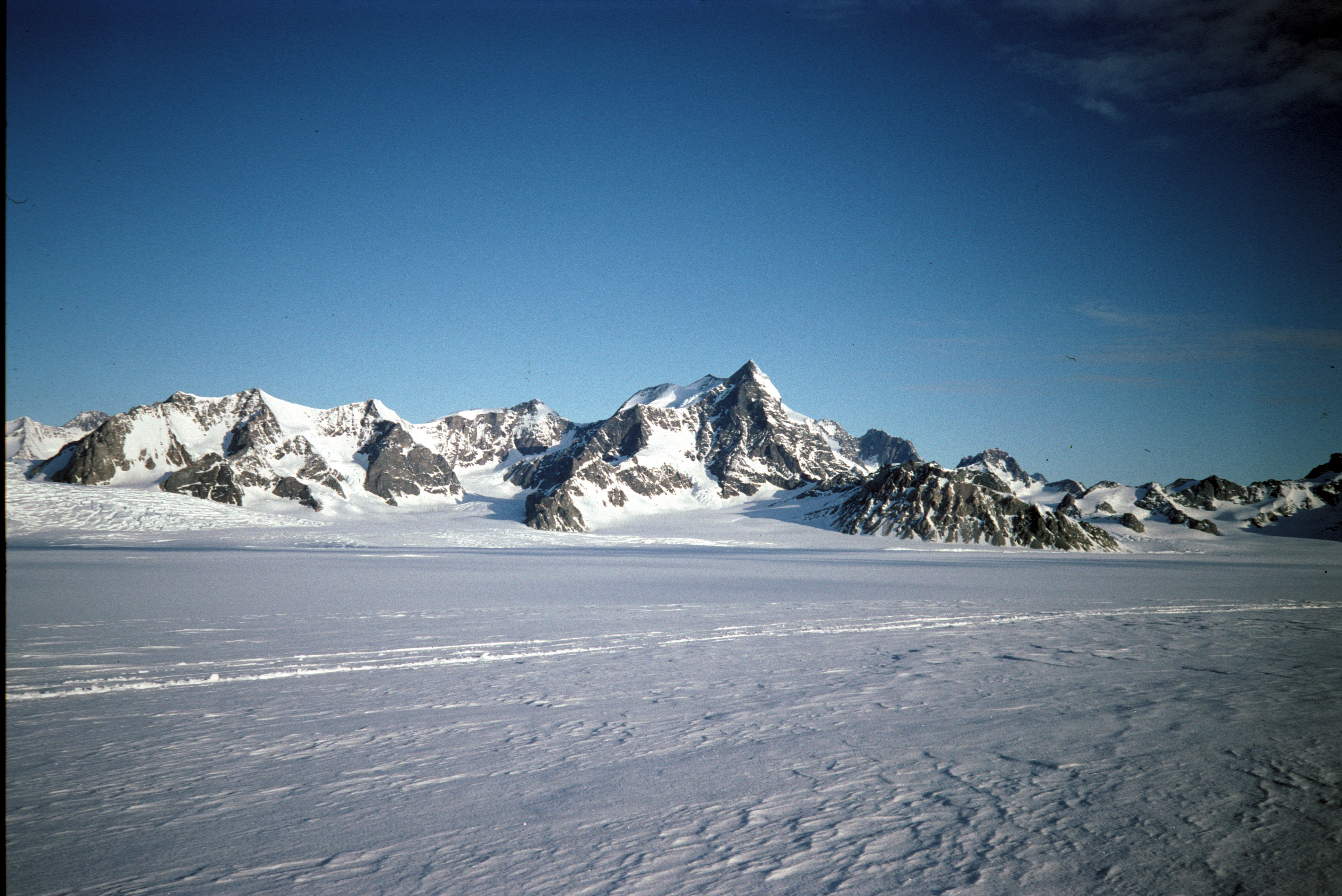
 Creswick Peaks seen from George VI Sound
Creswick Peaks (70°28′S 67°43′W / 70.467°S 67.717°W) is an impressive mountain massif with several peaks, the highest 1,465 m, standing at the northeast side of Moore Point between Naess and Meiklejohn Glaciers, and 3 nautical miles (6 km) inland from George VI Sound on the west coast of Palmer Land. First surveyed in 1936 by the British Graham Land Expedition (BGLE) under Rymill. Named by the United Kingdom Antarctic Place-Names Committee (UK-APC) in 1954 after Frances E. Creswick (now Mrs. James I. Moore--see Moore Point), Asst. to the Dir. of the Scott Polar Research Institute, Cambridge, 1931–38, who helped to organize the BGLE, 1934-37.
 This article incorporates public domain material from the United States Geological Survey document "Creswick Peaks" (content from the Geographic Names Information System).
This Palmer Land location article is a stub. You can help Wikipedia by expanding it.