- Craigierig
-
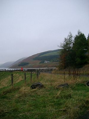 Craigierig on the Megget Reservoir
Craigierig is a village on the Megget Reservoir, in the Scottish Borders area of Scotland, in the former Selkirkshire.
Places nearby include the Glengaber Burn, Henderland, St Mary's Loch, the Tibbie Shiels Inn, and Yarrow Water.
See also
References
- Lonie, W (1995), 'Droveway sign-wall'
- The Geological Society, Scottish Journal of Geology, A new, stratigraphically significant Torquigraptus species (Silurian graptolite) from the Southern Uplands Terrane, Mark Williams et al.
- Proc Soc Antiq Scot, 1981, 401-429: Cramalt tower: historical survey and excavations 1977-9 by Alastair M T Maxwell-Irving
External links
- RCAHMS record of Craigie Rig, Craigierig
- CANMORE/RCAHMS record of Craigie Rig
- RCAHMS record of Glengaber Burn
- Geograph image: Craigierig Farm, viewed from Syart Law and up by Yair Sike towards Black Pig
Coordinates: 55°29′53″N 3°15′22″W / 55.498°N 3.256°W
Categories:- Villages in the Scottish Borders
- Scottish Borders geography stubs

Wikimedia Foundation. 2010.