- Chiren Heights
-
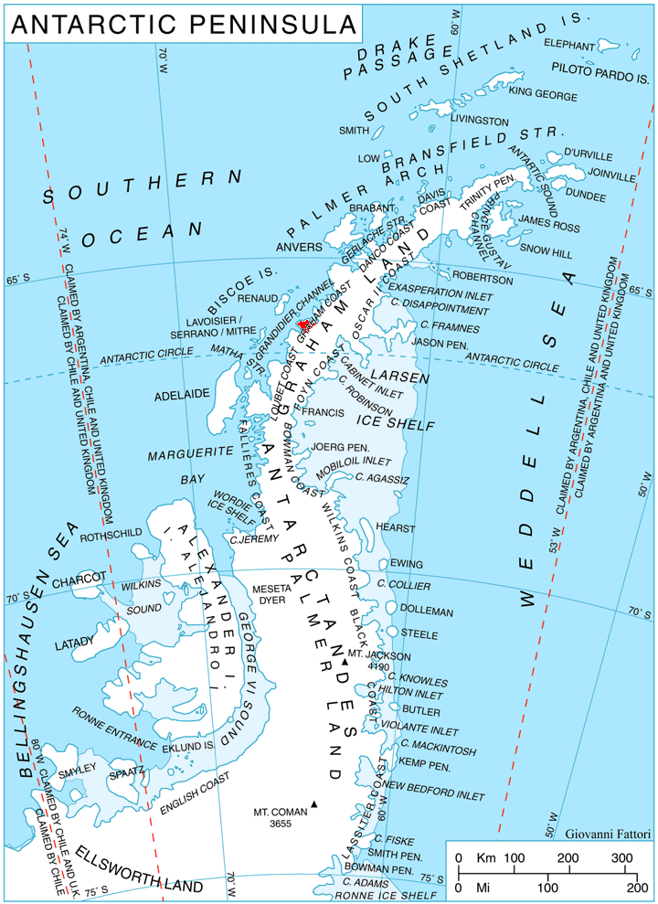
 Location of Velingrad Peninsula on Graham Coast, Antarctic Peninsula.
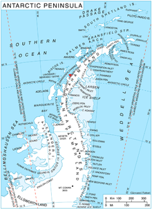
Chiren Heights (Bulgarian: Чиренски възвишения, ‘Chirenski Vazvisheniya’ \'chi-ren-ski vaz-vi-'she-ni-ya\) is the ice-covered heights at the base of Velingrad Peninsula, Graham Coast on the west side of Antarctic Peninsula, extending 21 km in northeast-southwest direction between Barilari Bay and Holtedahl Bay, and 16 km wide. It is bounded by Caulfield Glacier to the south, Simler Snowfield to the west, Hoek Glacier to the northwest, Bilgeri Glacier to the north and Weir Glacier to the east. Featuring Coblentz Peak at its west extremity and Mount Zdarsky (1200 m) in its north-central part.
The heights are named after the settlement of Chiren in Northwestern Bulgaria.
Location
Chiren Heights are centred at 66°06′35″S 64°49′30″W / 66.10972°S 64.825°W. British mapping in 1971.
Maps
- British Antarctic Territory. Scale 1:200000 topographic map. DOS 610 Series, Sheet W 66 64. Directorate of Overseas Surveys, Tolworth, UK, 1976.
- Antarctic Digital Database (ADD). Scale 1:250000 topographic map. Scientific Committee on Antarctic Research (SCAR), 1993-2006.
References
- Bulgarian Antarctic Gazetteer. Antarctic Place-names Commission. (details in Bulgarian, basic data in English)
- SCAR Composite Gazetteer of Antarctica.
This article includes information from the Antarctic Place-names Commission of Bulgaria which is used with permission.

This Graham Coast location article is a stub. You can help Wikipedia by expanding it.