- Chaudandi
-
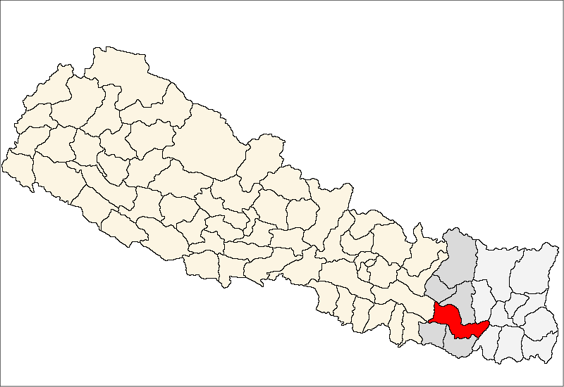
Chaudandi — Village development committee — Location in Nepal
 Chaudandi
Coordinates: 26°53′N 86°56′E / 26.88°N 86.94°ECoordinates: 26°53′N 86°56′E / 26.88°N 86.94°E Country  Nepal
NepalZone Sagarmatha Zone District Udayapur District Population (1991) - Total 2,715 Time zone Nepal Time (UTC+5:45) Chaudandi is a village development committee in Udayapur District in the Sagarmatha Zone of south-eastern Nepal. At the time of the 1991 Nepal census it had a population of 2715 people living in 469 individual households.[1]
References
- ^ "Nepal Census 2001". Nepal's Village Development Committees. Digital Himalaya. http://www.digitalhimalaya.com/collections/nepalcensus/form.php?selection=1. Retrieved 13 November 2008.
External links
Aaptar, Balaltar, Baraha, Barai, Basabote, Bashasa, Beltar, Bhumarashuwa, Bhuttar, Chaudandi, Dumre, Hadiya, Hardeni, Iname, Jalpachilaune, Janti, Jogidaha, Katari, Katunjebawala, Khanbu, Laphagaun, Lekhani, Lekhgau, Limpatar, Mainamiani, Myakhu, Nametar, Okhale, Pachchawati, Pokhari, Rauta, Risku, Rupatar, Saune, Shorung Chabise, Sirise, Sithdipur, Sundarpur, Tamlichha, Tapeswori, Tawashree, Thanagaun, Thoksila, Triveni, Triyuga, Valaya Danda, Yayankhu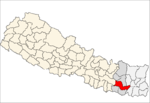 Categories:
- Populated places in Udayapur District
- Sagarmatha Zone geography stubs

Wikimedia Foundation. 2010.