- Charleston–North Charleston–Summerville metropolitan area
-
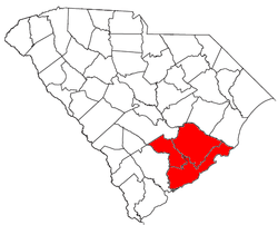 Location of the Charleston-North Charleston-Summerville Metropolitan Statistical Area in South Carolina
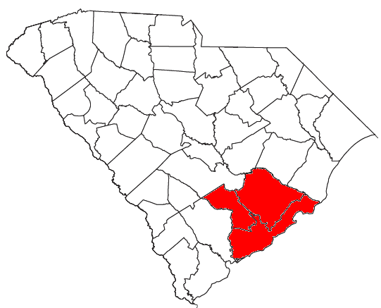
The Charleston–North Charleston–Summerville Metropolitan Statistical Area, as defined by the Office of Management and Budget and used by the United States Census Bureau for statistical purpose only, is an area consisting of three counties in the Lowcountry region of South Carolina, anchored by the cities of Charleston, North Charleston, and Summerville. As of the 2010 census, the number of people living within the three county area was counted at 664,607.
Contents
Counties
Communities
Places with more than 95,000 inhabitants
- Charleston (Principal city)
- North Charleston (Principal city)
Places with 25,000 to 95,000 inhabitants
- Goose Creek
- Mount Pleasant
- Summerville (Principal city)
Places with 5,000 to 25,000 inhabitants
Places with 1,000 to 5,000 inhabitants
- Awendaw
- Folly Beach
- Hollywood
- Isle of Palms
- James Island
- Kiawah Island
- Meggett
- Ravenel
- Ridgeville
- Seabrook Island
- St. George
- St. Stephen
- Sullivan's Island
Places with fewer than 1,000 inhabitants
Unincorporated places
Demographics
As of the census[1] of 2000, there were 549,033 people, 227,957 households, and 161,448 families residing within the MSA. The racial makeup of the MSA was 65.10% White, 30.80% African American, 0.41% Native American, 1.32% Asian, 0.06% Pacific Islander, 0.98% from other races, and 1.34% from two or more races. Hispanic or Latino of any race were 2.38% of the population.
The median income for a household in the MSA was $40,345, and the median income for a family was $47,186. Males had a median income of $33,229 versus $24,118 for females. The per capita income for the MSA was $19,037.
See also
External links
- [1] *** [See section 5 for definition and proper use of Metropolitan Statistical Area]
References
- ^ "American FactFinder". United States Census Bureau. http://factfinder.census.gov. Retrieved 2008-01-31.
Wikimedia Foundation. 2010.