- Narjamandap
-
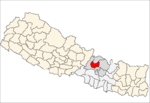
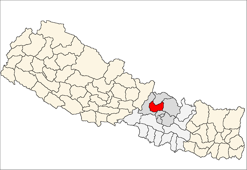
Narjamandap — Village development committee — Location in Nepal
 Narjamandap
Coordinates: 27°56′N 85°17′E / 27.93°N 85.29°ECoordinates: 27°56′N 85°17′E / 27.93°N 85.29°E Country  Nepal
NepalZone Bagmati Zone District Nuwakot District Population (1991) – Total 4,493 Time zone Nepal Time (UTC+5:45) Narjamandap is a village development committee in Nuwakot District in the Bagmati Zone of central Nepal. At the time of the 1991 Nepal census it had a population of 4,493 people living in 830 individual households.[1]
References
- ^ "Nepal Census 2001", Nepal's Village Development Committees (Digital Himalaya), http://www.digitalhimalaya.com/collections/nepalcensus/form.php?selection=1, retrieved 6 October 2008
External links
Bageswori Chokade · Balkumari · Barsunchet · Belkot · Beteni · Bhadratar · Bhalche · Budhasing · Bungtang · Charghare · Chaturale · Chaughada · Chauthe · Chhap · Dangsing · Deurali · Dhyangphedi · Duipipal · Fikuri · Ganeshthan · Gaunkharka · Gerkhu · Ghyangphedi · Gorsyang · Jiling · Kakani · Kalibas · Kalikahalde · Kalyanpur · Kaule · Khadag Bhanjyang · Kharanitar · Kholegaun Khanigaun · Kintang · Kumari · Lachyang · Likhu · Madanpur · Mahakali · Manakamana · Narjamandap · Okharpauwa · Panchkanya · Ralukadevi · Ratmate · Rautbesi · Salme · Samari, Nepal · Samundradevi · Samundratar · Shikharbesi · Sikre · Sundaradevi · Sunkhani · Suryamati · Talakhu · Taruka · Thanapati · Thansing · Thaprek · Tupche · Urleni
 Categories:
- Populated places in Nuwakot District
- Bagmati Zone geography stubs

Wikimedia Foundation. 2010.