Wijnjewoude

Wijnjewoude

Infobox Settlement
official_name = Wijnjewoude
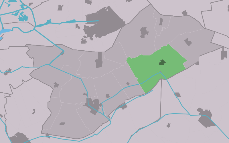

mapsize = 280px
subdivision_type = Country
subdivision_name = flagicon|Netherlands Netherlands
subdivision_type1 = Province
subdivision_name1 = flagicon|Friesland Friesland
settlement_type = Village
population_total = c. 1993 (2005).

Wijnjewoude ( _fr. Wynjewâld) is a village consisting of about 2000 inhabitants in the municipality of Opsterland in the east of Friesland in the Netherlands.

External link

* [http://www.wijnjewoude.net/ Website about Wijnjewoude]


Wikimedia Foundation. 2010.

Игры ⚽ Поможем сделать НИР

Look at other dictionaries:

  • Wijnjewoude — 53°3′22″N 6°12′22″E / 53.05611, 6.20611 …   Wikipédia en Français

  • Duurswoude — Wijnjewoude 53°3′22″N 6°12′22″E / 53.05611, 6.20611 …   Wikipédia en Français

  • Wijnjeterp — Wijnjewoude 53°3′22″N 6°12′22″E / 53.05611, 6.20611 …   Wikipédia en Français

  • Wynjewâld — Wijnjewoude 53°3′22″N 6°12′22″E / 53.05611, 6.20611 …   Wikipédia en Français

  • Hotel en Restaurant de Stripe — (Wijnjewoude,Нидерланды) Категория отеля: 3 звездочный отель Адрес: Du …   Каталог отелей

  • Opsterland — Opsterlân   Municipality   …   Wikipedia

  • List of places in the Netherlands — This is an alphabetical list of places (cities, towns, villages) in the Netherlands. Lists per province can be found at:* List of towns in Groningen * List of towns in Friesland * List of towns in Drente * List of towns in Overijssel * List of… …   Wikipedia

  • Beetsterzwaag — Gemeinde Opsterland Flagge Wappen Provinz …   Deutsch Wikipedia

  • Opsterland — Gemeinde Opsterland Flagge Wappen Provinz Friesland …   Deutsch Wikipedia

  • Bakkefean — Bakkeveen 53°4′54″N 6°15′26″E / 53.08167, 6.25722 …   Wikipédia en Français

Share the article and excerpts

Direct link
Do a right-click on the link above
and select “Copy Link”