Langezwaag — 52°58′59″N 6°0′16″E / 52.98306, 6.00444 … Wikipédia en Français
Langsweagen — Langezwaag 52°58′59″N 6°0′16″E / 52.98306, 6.00444 … Wikipédia en Français
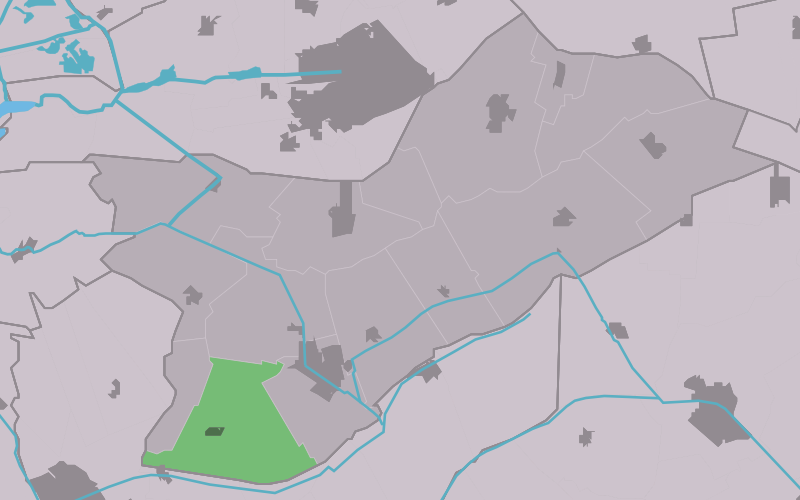
Opsterland — Opsterlân Municipality … Wikipedia
List of places in the Netherlands — This is an alphabetical list of places (cities, towns, villages) in the Netherlands. Lists per province can be found at:* List of towns in Groningen * List of towns in Friesland * List of towns in Drente * List of towns in Overijssel * List of… … Wikipedia
Beetsterzwaag — Gemeinde Opsterland Flagge Wappen Provinz … Deutsch Wikipedia
Opsterland — Gemeinde Opsterland Flagge Wappen Provinz Friesland … Deutsch Wikipedia
Bakkefean — Bakkeveen 53°4′54″N 6°15′26″E / 53.08167, 6.25722 … Wikipédia en Français
Bakkeveen — 53°4′54″N 6°15′26″E / 53.08167, 6.25722 … Wikipédia en Français
Beetstersweach — Beetsterzwaag 53°3′40″N 6°4′39″E / 53.06111, 6.0775 … Wikipédia en Français
Beetsterzwaag — 53°3′40″N 6°4′39″E / 53.06111, 6.0775 … Wikipédia en Français