- Charambi
-
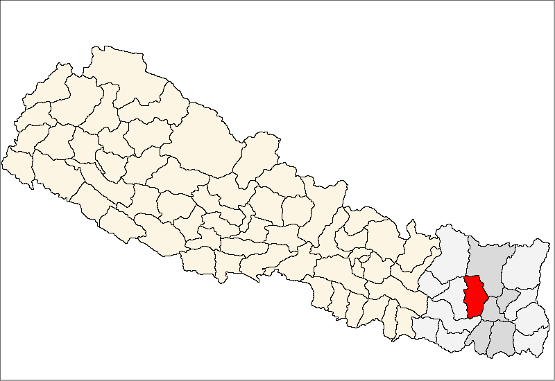
Charambi — Municipality — Location in Nepal
 Charambi
Coordinates: 27°12′N 87°13′E / 27.20°N 87.21°ECoordinates: 27°12′N 87°13′E / 27.20°N 87.21°E Country  Nepal
NepalZone Kosi Zone District Bhojpur District Population (1991) – Total 3,331 Time zone Nepal Time (UTC+5:45) Charambi is a village development committee in Bhojpur District in the Kosi Zone of eastern Nepal. At the time of the 1991 Nepal census it had a population of 3331 persons living in 604 individual households.[1]
References
- ^ "Nepal Census 2001". Nepal's Village Development Committees. Digital Himalaya. http://www.digitalhimalaya.com/collections/nepalcensus/form.php?selection=1. Retrieved 13 September 2008.
External links
Aamtep · Annapurna · Baikuntha · Balankha · Basikhola · Basingtharpur · Basteem · Bhaisipankha · Bhubal · Bhulke · Bokhim · Boya · Champe · Changre · Charambi · Chaukidada · Chhinamukh · Dalgaun · Deurali · Dewantar · Dhodalekhani · Dobhane · Dummana · Gogane · Gupteshwor · Hasanpur · Helauchha · Homtang · Jarayotar · Keemalung · Keurepani · Khairang · Khartimchha · Khatamma · Khawa · Kota · Kudak Kaule · Kulunga · Lekharka · Mane Bhanjyang · Mulpani · Nagi · Nepaledada · Okhre · Pangcha · Patle Pani · Pawala · Pyauli · Ranibas · Sangpang · Sano Dumba · Shyamsila · Siddheswor · Sindrang · Syamsila · Taksar · Thidingkha · Thulo Dumba · Timma · Tiwari Bhanjyang · Tunggochha · Yaku · Yangpang
 Categories:
- Populated places in Bhojpur District
- Kosi Zone geography stubs

Wikimedia Foundation. 2010.